Loading...
Loading map...2024 Map of Stonington
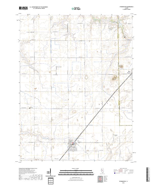
USGS Topo · Published 2024About this map
Stonington serves as the primary hub of this central Illinois agricultural landscape, situated at the junction of Co Hwy 4 and a grid of rural section roads. The terrain is defined by its subtle glacial features, most notably the elevated formations of Long Mound and Blue Mound, which rise above the surrounding prairie. These landforms provided natural orientation for early settlers and continue to break the horizontal plane of the till plain.
Find a feature on this map
49 named features on this map. Tap any name to fly to it.
Don’t see what you’re looking for? This feature index may not catch every label — zoom into the map to look around manually.
Map Details
Date Portrayed2024
Date Published2024
PublisherU.S. Geological Survey
Map TypeTopographic
Scale1:24000
Physical Dimensions24 x 29 inches
Editions of this 2024 Stonington Map
This is the sole edition of this map. No revisions or reprints were ever made.
Historical Maps of Midway Through Time
Featured Locations
Source Details
SourceU.S. Geological Survey
CopyrightPublic Domain