Old Maps of Macon County, Illinois
Explore 144 old maps of Macon County, spanning from 1929 to today. These high-resolution historic maps reveal how streets, neighborhoods, landmarks, and natural features evolved over time — perfect for genealogy, metal detecting, research, and local history exploration.
What you can do with these maps:
- See how Macon County changed over time: Compare historical maps to modern-day views to trace roads, homesites, rail lines & more.
- View detailed metadata: Each map includes creators, publishers, year, scale, and archive source.
- Overlay maps with satellite & LiDAR: Visualize the past alongside modern tools to explore terrain & human change.
- Trusted historical sources: Maps sourced from the USGS, Library of Congress, and other archives.
- Access maps your way: View online, download high-res files, or order prints for personal or research use.
Start exploring old maps of Macon County to uncover forgotten places, hidden landmarks, and the deep history beneath your feet.
Macon County, IL maps
(144)- 1929 Map of Decatur, 1965 Print
 1929 Decatur1965 Print · USGSCentral Illinois during the mid-twentieth century reveals a landscape defined by the expansion of Lake Decatur and a busy rail network. Researchers can trace dozens of rural schools like Blue Door Sch and landmarks including Decatur Airport.
 - 1933 Map of Decatur
 1933 Decatur1933 Print · USGSThe rail-and-river hub of Decatur is captured here in the early thirties, showing a landscape defined by industrial growth and rural school districts. Genealogists can trace family landmarks like Antioch Ch or dozens of local schoolhouses including Blue Door Sch and Mound Sch.3 unique versions available
 - 1937 Map of Monticello
 1937 Monticello1937 Print · USGSIn the mid-1930s, this portion of Piatt and DeWitt counties was a bustling corridor of rail lines and rural school districts. Genealogists can locate family landmarks like Campground Cem or trace the vanished district schools like Watson Sch and Harmony Sch.2 unique versions available
 - 1943 Map of Monticello
 1943 Monticello1943 Print · USGSCentral Illinois at the height of the Second World War reveals a landscape of thriving rail towns and rural school districts. You can trace the path of the Wabash railroad through White Heath or locate family roots at Kentucky Ch and Greenleaf Cem.2 unique versions available
 - 1949 Map of Dalton City
 1949 Dalton City1949 Print · USGSCentral Illinois agriculture and rail transit are documented here just after the war, showing the dense network of one-room schools and country churches. Genealogists can locate family landmarks like Sanner Chapel, New Hope Cem, and Penn Consolidated Sch.2 unique versions available
 - 1952 Map of Assumption, 1953 Print
 1952 Assumption1953 Print · USGSChristian and Macon counties are seen here in the early fifties, a time when rail lines like the Wabash and Illinois Central still connected small farming towns. Researchers can locate early family burial grounds such as Adams Cem or trace the development of the Mc Coy Airport.2 unique versions available
 - 1954 Map of Niantic, 1955 Print
 1954 Niantic1955 Print · USGSMid-century Macon County is defined here by its bustling rail corridors and the winding Sangamon River. Researchers can trace old family names at Lake Bank Cem or locate forgotten stops like Wyckles Corners and Bulldog Crossing.3 unique versions available
 - 1955 Map of Bement, 1956 Print
 1955 Bement1956 Print · USGSCentral Illinois prairie life revolved around rail junctions and rural townships in the mid-1950s. Genealogists can trace family footprints at Willow Branch Cem or Asbury Ch, while following the lines of the Wabash and Baltimore and Ohio railroads.2 unique versions available
 - 1957 Map of Kenney, 1958 Print
 1957 Kenney1958 Print · USGSDe Witt and Logan Counties are captured in the late 1950s as the rail-and-river network shaped the prairie landscape. Genealogists can trace rural family plots at McClimans Cem or locate former landmarks like Mt Zion Sch.2 unique versions available
 - 1957 Map of Maroa, 1958 Print
 1957 Maroa1958 Print · USGSCentral Illinois during the late fifties reveals a landscape of thriving rail towns and quiet rural outposts. Genealogists can trace family footprints at Crum Cem or Shiloh Ch, and locate vanished landmarks like Texas Sch.2 unique versions available
 - 1958 Map of Peoria, 1969 Print
 1958 Peoria1969 Print · USGSCentral Illinois thrived as a hub of education and transport during the late sixties, as the new interstate system began to reshape the prairie. Genealogists and historians can trace local landmarks like Springdale Cem, Bradley University, and the sprawling grounds of Chanute AFB.4 unique versions available
 - 1958 Map of Decatur, 1971 Print
 1958 Decatur1971 Print · USGSCentral Illinois in the mid-twentieth century shows a landscape defined by industrial rail hubs and the creation of large reservoirs. Researchers can trace historic corridors like the Penn Central or locate landmarks such as Lincoln Log Cabin State Park and Lake Springfield.3 unique versions available
 - 1961 Map of Peoria
 1961 Peoria1961 Print · USGSCentral Illinois thrived at the intersection of river trade and rail power during the late fifties. Genealogists and local historians can trace the rail networks of the Illinois Central and Wabash, alongside landmarks like Chanute AFB and Weldon Springs State Park.
 - 1961 Map of Decatur
 1961 Decatur1961 Print · USGSCentral Illinois in the late fifties was a bustling corridor of rail lines and prairie commerce centered on the state capital. Genealogists and historians can trace the intricate connections between Springfield, Decatur, and dozens of smaller settlements like Nokomis and Arcola.2 unique versions available
 - 1963 Map of Peoria
 1963 Peoria1963 Print · USGSCentral Illinois thrived as a rail and highway crossroads during the early sixties, centered on the bustling Illinois River valley. Genealogists and historians can trace the mid-century layout of Peoria, locate the grounds of Chanute Air Force Base, and follow historic lines like the Toledo Peoria and Western Railway.
 - 1967 Map of Long Creek, 1968 Print
 1967 Long Creek1968 Print · USGSMacon County transitioned from heavy rail-and-river industry to suburban growth in the late sixties. Researchers can trace historic family burial sites at Ridge Cem, follow the Baltimore and Ohio tracks, or locate old schools like Salem Sch.2 unique versions available
 - 1967 Map of Argenta, 1968 Print
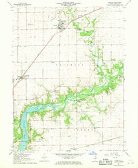 1967 Argenta1968 Print · USGSMacon County's rural heartland is captured here in the late sixties, where the Sangamon River flows toward the expanding shoreline of Lake Decatur. Genealogists and local historians can locate several rural landmarks including the Oakley Brick Ch, Berry Sch, and the Friends Creek Cem.2 unique versions available
 - 1967 Map of Decatur, 1968 Print
 1967 Decatur1968 Print · USGSDecatur is shown at its mid-century industrial peak, dominated by a complex network of railroads and the rising waters of Lake Decatur. Researchers can locate specific sites from Millikin University to family plots in Graceland Cemetery and Greenwood Cemetery.2 unique versions available
 - 1967 Map of Forsyth, 1968 Print
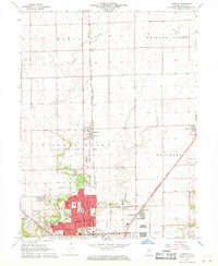 1967 Forsyth1968 Print · USGSThe northern reaches of the Decatur area are documented here during a period of steady mid-century growth. Genealogists and local historians can trace the development of Forsyth and Larkdale alongside landmarks like Boiling Springs Cem and the County Fairground.2 unique versions available
 - 1979 Map of Maroa, 1980 Print
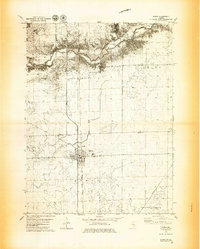 1979 Maroa1980 Print · USGSMaroa and the surrounding prairie are captured in the late seventies at a peak of rail-and-road connectivity on the De Witt and Macon County line. Researchers can locate the Maroa Cem, the Texas Ch, and small rail siding of Ospur amidst the fertile farmland.2 unique versions available
 - 1979 Map of Weldon West, 1980 Print
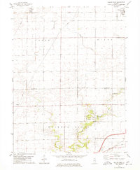 1979 Weldon West1980 Print · USGSDe Witt County and the Macon County line are captured in the late seventies, a period of established prairie farming and rail transport. Genealogists can locate Shiloh Chapel, the Chandler Cem, and the rural community of Lane along the Illinois Central Gulf tracks.
 - 1979 Map of Weldon East, 1980 Print
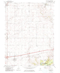 1979 Weldon East1980 Print · USGSPiatt County farmland in the late seventies is marked by the busy Illinois Central Gulf rail line and quiet rural townships. Genealogists can locate family sites near Weldon, DeLand, or the wooded grounds of Robert Allerton Park.
 - 1980 Map of Chestnut
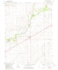 1980 Chestnut1980 Print · USGSThe rural landscape of central Illinois is captured here in the early 1980s, centered on the village of Chestnut. Family historians can locate numerous burial grounds like Donnan Cem and Hays Cem or trace the route of the Illinois Central Gulf railroad.
 - 1980 Map of Kenney, 1981 Print
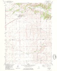 1980 Kenney1981 Print · USGSRail-and-river life in De Witt County is frozen in time during the late twentieth century, centered on the village of Kenney. Researchers can locate several rural landmarks including Harmony Ch, Old Baptist Cem, and the small settlement of Rowell.
 - 1982 Map of Harristown, 1983 Print
 1982 Harristown1983 Print · USGSMacon County's rural landscape and the western expansion of Decatur are captured here in the early eighties. Genealogists and historians can trace family-named landmarks like Crum Cem and Whitley Cem alongside the winding Sangamon River.
Showing maps 1-25 of 144
Top cities of Macon County
- Decatur historical maps
- Mount Zion historical maps
- Forsyth historical maps
- Maroa historical maps
- Long Creek historical maps
- Harristown historical maps
See more
Frequently asked questions
- What are the different types of historical maps available for Macon County?
- What is the oldest map of Macon County?
- Where can I purchase historical maps of Macon County for my home or office?
- Where can I download high-res historical maps of Macon County?
- Are there historical topographic maps available for Macon County?
- Is there historical aerial imagery available for Macon County?
- Where are historical maps of Macon County sourced from?