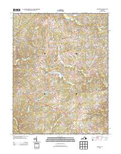
2013 Map of Storck
USGS Topo · Published 2013About this map
Roseville Plantation and Rose Hill Farms highlight the legacy of agricultural estates in this portion of Stafford County, situated just north of the Rappahannock River. By the early 2010s, this landscape shows a distinct pattern of residential growth, with newer developments like Barrington Woods and Crown Manor appearing alongside established rural landmarks. The importance of local recreation and industry is evident through Curtis Park Lake Boat Ramp, Gauntlet Golf Course, and the Hartwood Winery. A network of creeks, including Alcott Run and Potomac Run, defines the drainage of the area, while historical infrastructure is still noted through features like the Shackleford Well. This survey documents a transitional period where suburban neighborhoods began to weave into the county's traditional farming and forested regions.
Find a feature on this map
177 named features on this map. Tap any name to fly to it.
Don’t see what you’re looking for? This feature index may not catch every label — zoom into the map to look around manually.
Map Details
Editions of this 2013 Storck Map
This is the sole edition of this map. No revisions or reprints were ever made.
Other maps of this area

1887 · Spottsylvania
USGS Topo · 1:125,000

1889 · Fredericksburg
USGS Topo · 1:125,000

1890 · Mt. Vernon
USGS Topo · 1:125,000

1891 · Mt. Vernon
USGS Topo · 1:125,000

1892 · Fredericksburg
USGS Topo · 1:125,000

1892 · Spottsylvania
USGS Topo · 1:125,000

1894 · Warrenton
USGS Topo · 1:125,000

1894 · Fredericksburg
USGS Topo · 1:125,000

1894 · Mt. Vernon
USGS Topo · 1:125,000

1897 · Mt. Vernon
USGS Topo · 1:125,000