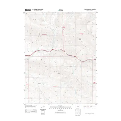
2013 Map of Storm King Mountain
USGS Topo · Published 2013About this map
The Colorado River carves through the center of this landscape, flanked by the prominent heights of Storm King Mountain and the geological formation of the Grand Hogback. This 2013 survey illustrates a region defined by high-elevation terrain and a complex network of water management features, including the Mings Chenoweth and Wolverton Ditch and the Sykes and Alford Ditch, which redirect water across the steep slopes. The small settlement of Chacra sits along the river corridor, while Okanela Lodge and South Canyon Hot Springs indicate the area's recreational and natural landmarks.
Find a feature on this map
31 named features on this map. Tap any name to fly to it.
Don’t see what you’re looking for? This feature index may not catch every label — zoom into the map to look around manually.
Map Details
Editions of this 2013 Storm King Mountain Map
This is the sole edition of this map. No revisions or reprints were ever made.
Other maps of this area

1906 · Grand Hogback
USGS Topo · 1:125,000

1910 · Grand Hogback
USGS Topo · 1:125,000

1927 · Glenwood Springs
USGS Topo · 1:125,000

1930 · Glenwood Springs
USGS Topo · 1:125,000

1957 · Leadville
USGS Topo · 1:250,000

1959 · Leadville
USGS Topo · 1:250,000

1960 · Leadville
USGS Topo · 1:250,000

1961 · Cattle Creek
USGS Topo · 1:24,000

1961 · Glenwood Springs
USGS Topo · 1:24,000

1962 · Leadville
USGS Topo · 1:250,000