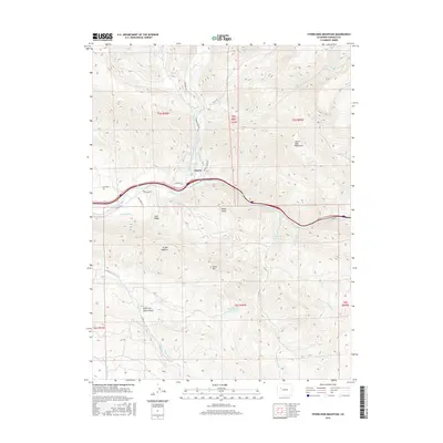
2016 Map of Storm King Mountain
USGS Topo · Published 2016About this map
Storm King Mountain and the towering Grand Hogback dominate this landscape west of Glenwood Springs, where the Colorado River cuts through steep canyon terrain. The settlement of Chacra sits along the northern bank of the river, positioned near a network of irrigation systems and transportation routes like Co RD 314 and Co HWY 134. The area's water management is remarkably complex, featuring numerous named waterways and engineering projects such as the Valcan Ditch, Spion-Kapp Ditch, and Sykes and Alford Ditch.
Find a feature on this map
36 named features on this map. Tap any name to fly to it.
Don’t see what you’re looking for? This feature index may not catch every label — zoom into the map to look around manually.
Map Details
Editions of this 2016 Storm King Mountain Map
This is the sole edition of this map. No revisions or reprints were ever made.
Other maps of this area

1906 · Grand Hogback
USGS Topo · 1:125,000

1910 · Grand Hogback
USGS Topo · 1:125,000

1927 · Glenwood Springs
USGS Topo · 1:125,000

1930 · Glenwood Springs
USGS Topo · 1:125,000

1957 · Leadville
USGS Topo · 1:250,000

1959 · Leadville
USGS Topo · 1:250,000

1960 · Leadville
USGS Topo · 1:250,000

1961 · Cattle Creek
USGS Topo · 1:24,000

1961 · Glenwood Springs
USGS Topo · 1:24,000

1962 · Leadville
USGS Topo · 1:250,000