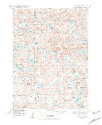
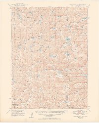
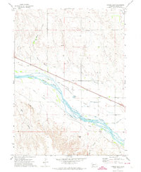
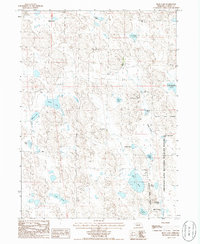
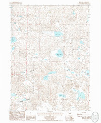
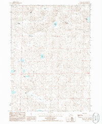
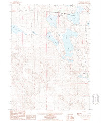
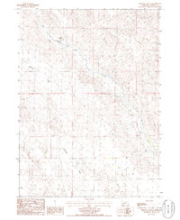
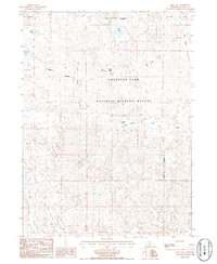
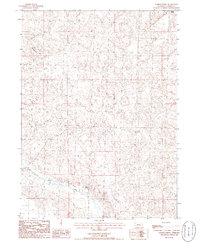
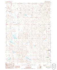
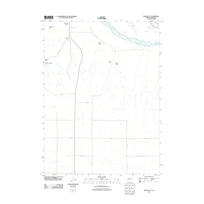
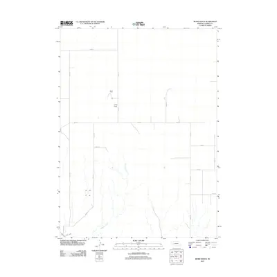
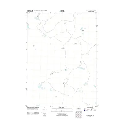
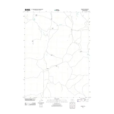
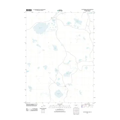
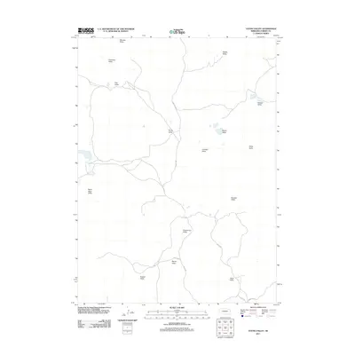
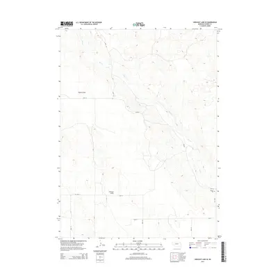
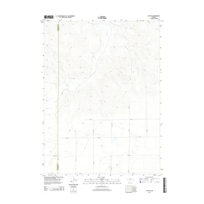
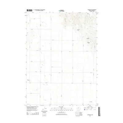
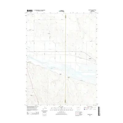
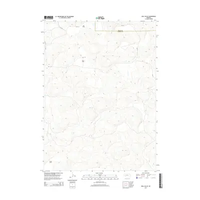
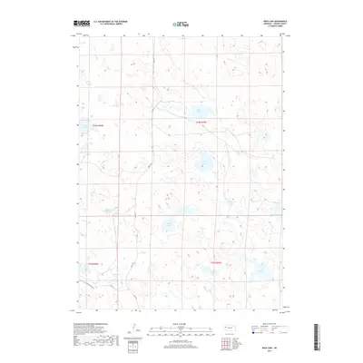
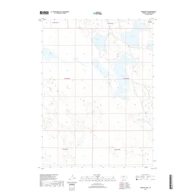
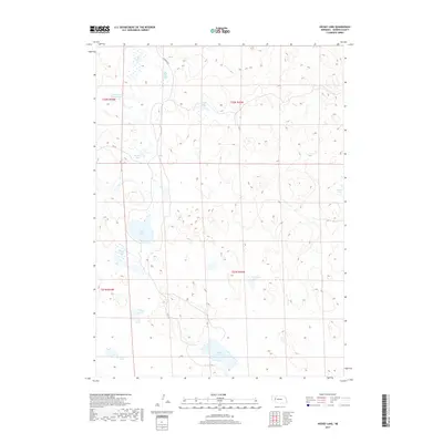
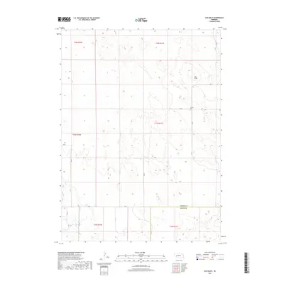
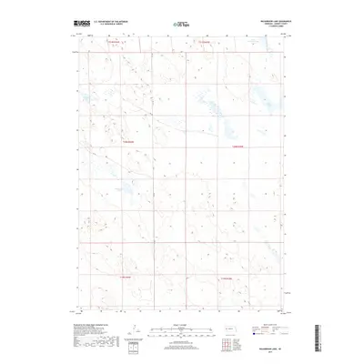
1950 Map of Storm Lake
USGS Topo · Published 1950About this map
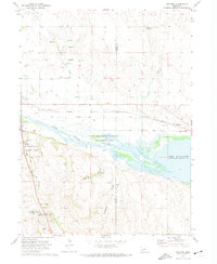
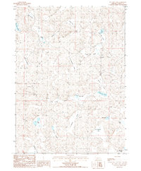
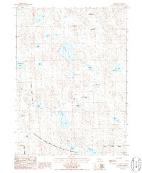
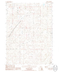
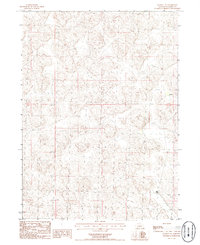
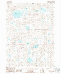
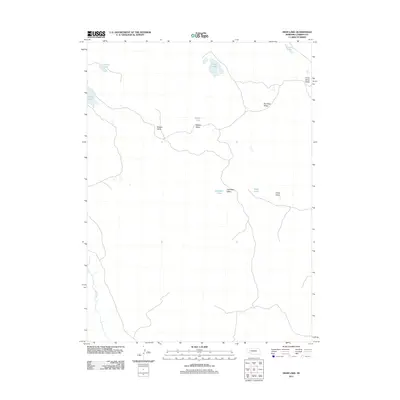
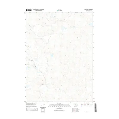
Deep in the Nebraska Sandhills during the late 1940s, this area of Morrill and Garden Counties reveals a landscape defined by an extensive network of alkaline and freshwater basins. The southeastern portion of the map covers the Crescent Lake National Wildlife Refuge, a critical sanctuary for migratory birds. Numerous family-run operations such as Storm Lake Ranch, Hill Ranch, and the Avery Ranch highlight the importance of cattle ranching in this interior drainage basin. Evidence of early 20th-century rural education is preserved through the locations of School No 10, School No 84, and School No 83, which served the isolated ranching community. The map illustrates a complex hydrology of closed basins, including the namesake Storm Lake, the large Alkali Lake, and dozens of smaller water bodies like Johnson Lake and Blue Stem Lake, many of which were accessed by primitive trails and the Refuge Road.
Find a feature on this map
62 named features on this map. Tap any name to fly to it.
Don’t see what you’re looking for? This feature index may not catch every label — zoom into the map to look around manually.
Map Details
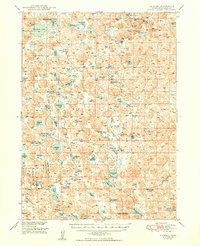
Editions of this 1950 Storm Lake Map
This is the sole edition of this map. No revisions or reprints were ever made.
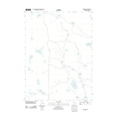
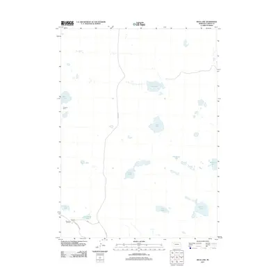
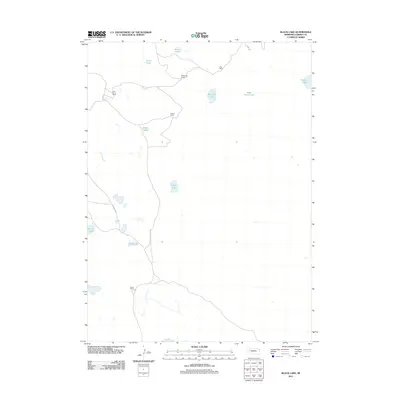
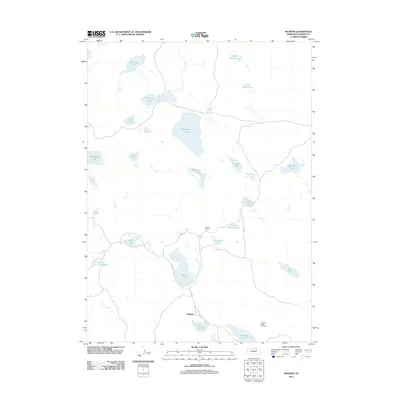
Historical Maps of Morrill County Through Time
132 maps found
1949 Mumper
Garden County, NE
1949 Rackett
Garden County, NE
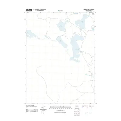
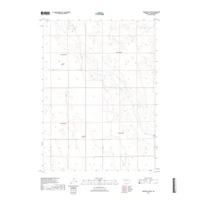
1950 Crescent Lake
Garden County, NE
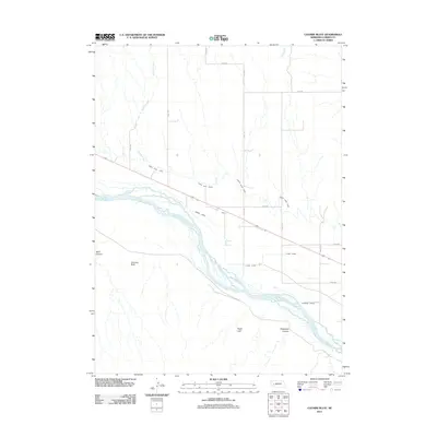
1950 Longfellow Lake
Garden County, NE
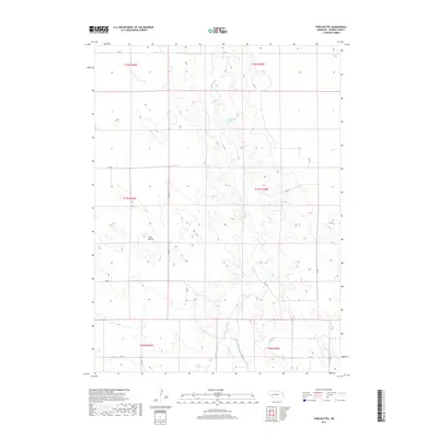
1950 Storm Lake
Garden County, NE
1951 Rackett
Garden County, NE
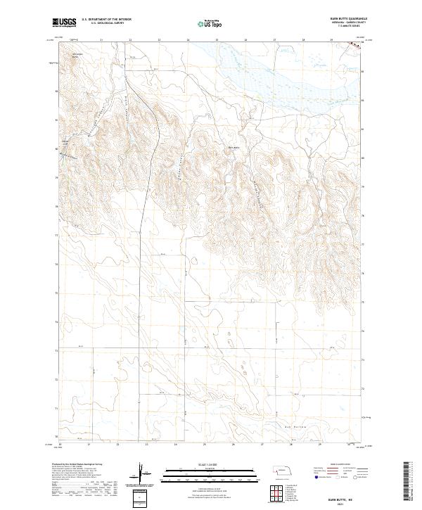
1971 Barn Butte
Garden County, NE
1971 Buske Ranch
Garden County, NE
1971 Coumbe Bluff
Garden County, NE
1971 Old Baldy
Garden County, NE
1971 Oshkosh SW
Garden County, NE
1971 Richardson Lake
Garden County, NE
1971 Ruthton
Garden County, NE
1971 Twin Buttes
Garden County, NE
1972 Lisco SE
Garden County, NE
1985 Crescent Lake
Garden County, NE
1986 Bean Lake
Garden County, NE
1986 Beck Lake
Garden County, NE
1986 Black Lake
Garden County, NE
1986 Crescent Lake
Garden County, NE
1986 Crescent Lake SE
Garden County, NE
1986 Deer Lake
Garden County, NE
1986 Gusher Spring
Garden County, NE
1986 Hessey Lake
Garden County, NE
1986 McCarty Lake
Garden County, NE
1986 Mumper
Garden County, NE
1986 Rackett
Garden County, NE
1986 Rackett SE
Garden County, NE
1986 Schoonover Lake
Garden County, NE
1986 Sugar Loaf Hill
Garden County, NE
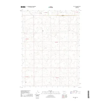
1986 Well Valley
Garden County, NE
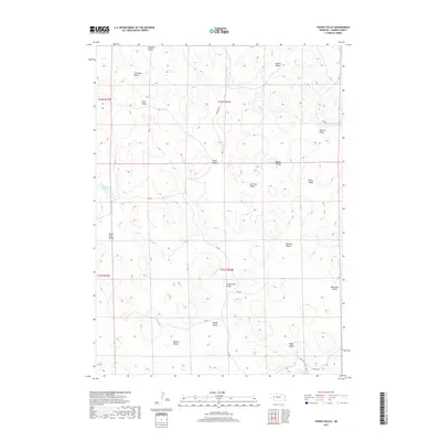
1986 Young Valley
Garden County, NE
2011 Barn Butte
Garden County, NE
2011 Bean Lake
Garden County, NE
2011 Beck Lake
Garden County, NE
2011 Black Lake
Garden County, NE
2011 Buske Ranch
Garden County, NE
2011 Coumbe Bluff
Garden County, NE
2011 Crescent Lake
Garden County, NE
2011 Crescent Lake SE
Garden County, NE
2011 Deer Lake
Garden County, NE
2011 Gusher Spring
Garden County, NE
2011 Hessey Lake
Garden County, NE
2011 Lisco SE
Garden County, NE
2011 McCarty Lake
Garden County, NE
2011 Mumper
Garden County, NE
2011 Old Baldy
Garden County, NE
2011 Oshkosh SW
Garden County, NE
2011 Rackett
Garden County, NE
2011 Rackett SE
Garden County, NE
2011 Richardson Lake
Garden County, NE
2011 Ruthton
Garden County, NE
2011 Schoonover Lake
Garden County, NE
2011 Sugar Loaf Hill
Garden County, NE
2011 Twin Buttes
Garden County, NE
2011 Well Valley
Garden County, NE
2011 Young Valley
Garden County, NE
2014 Barn Butte
Garden County, NE
2014 Bean Lake
Garden County, NE
2014 Beck Lake
Garden County, NE
2014 Black Lake
Garden County, NE
2014 Buske Ranch
Garden County, NE
2014 Coumbe Bluff
Garden County, NE
2014 Crescent Lake
Garden County, NE
2014 Crescent Lake SE
Garden County, NE
2014 Deer Lake
Garden County, NE
2014 Gusher Spring
Garden County, NE
2014 Hessey Lake
Garden County, NE
2014 Lisco SE
Garden County, NE
2014 McCarty Lake
Garden County, NE
2014 Mumper
Garden County, NE
2014 Old Baldy
Garden County, NE
2014 Oshkosh SW
Garden County, NE
2014 Rackett
Garden County, NE
2014 Rackett SE
Garden County, NE
2014 Richardson Lake
Garden County, NE
2014 Ruthton
Garden County, NE
2014 Schoonover Lake
Garden County, NE
2014 Sugar Loaf Hill
Garden County, NE
2014 Twin Buttes
Garden County, NE
2014 Well Valley
Garden County, NE
2014 Young Valley
Garden County, NE
2017 Barn Butte
Garden County, NE
2017 Bean Lake
Garden County, NE
2017 Beck Lake
Garden County, NE
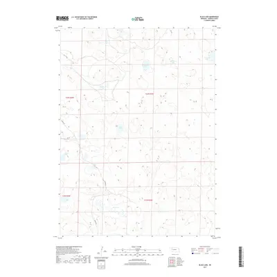
2017 Black Lake
Garden County, NE
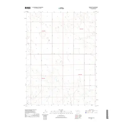
2017 Buske Ranch
Garden County, NE
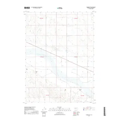
2017 Coumbe Bluff
Garden County, NE
2017 Crescent Lake
Garden County, NE
2017 Crescent Lake SE
Garden County, NE
2017 Deer Lake
Garden County, NE
2017 Gusher Spring
Garden County, NE
2017 Hessey Lake
Garden County, NE
2017 Lisco SE
Garden County, NE
2017 McCarty Lake
Garden County, NE
2017 Mumper
Garden County, NE
2017 Old Baldy
Garden County, NE
2017 Oshkosh SW
Garden County, NE
2017 Rackett
Garden County, NE
2017 Rackett SE
Garden County, NE
2017 Richardson Lake
Garden County, NE
2017 Ruthton
Garden County, NE
2017 Schoonover Lake
Garden County, NE
2017 Sugar Loaf Hill
Garden County, NE
2017 Twin Buttes
Garden County, NE
2017 Well Valley
Garden County, NE
2017 Young Valley
Garden County, NE
2021 Barn Butte
Garden County, NE
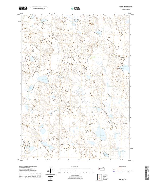
2021 Bean Lake
Garden County, NE
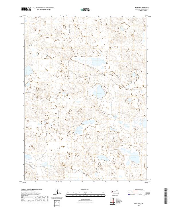
2021 Beck Lake
Garden County, NE
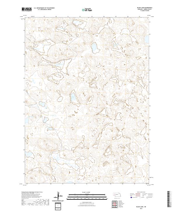
2021 Black Lake
Garden County, NE
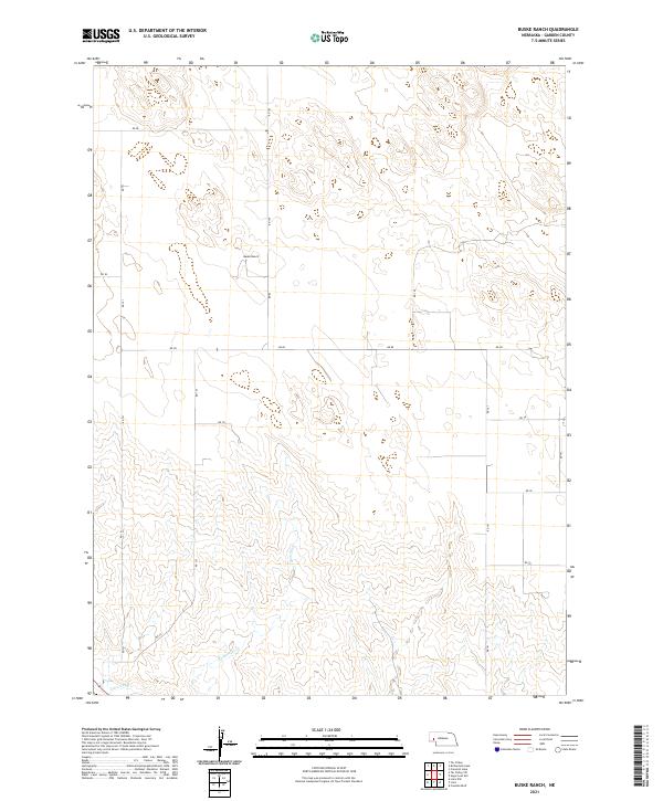
2021 Buske Ranch
Garden County, NE
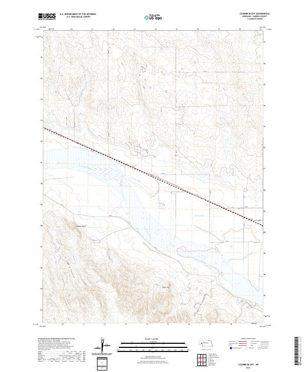
2021 Coumbe Bluff
Garden County, NE
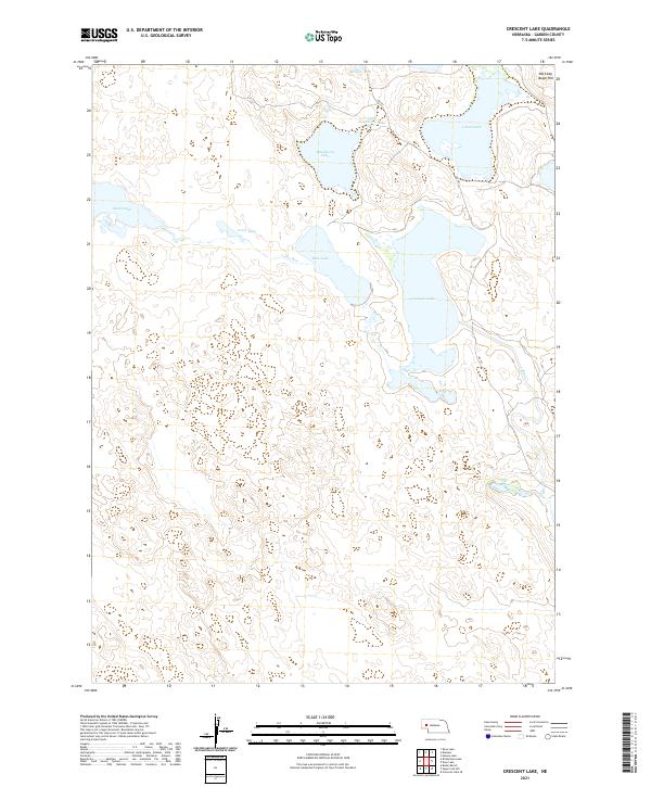
2021 Crescent Lake
Garden County, NE
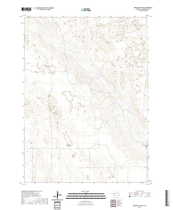
2021 Crescent Lake SE
Garden County, NE
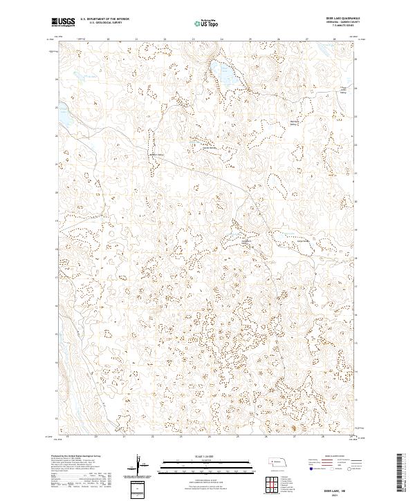
2021 Deer Lake
Garden County, NE
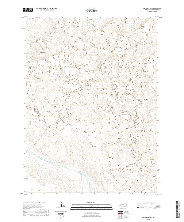
2021 Gusher Spring
Garden County, NE
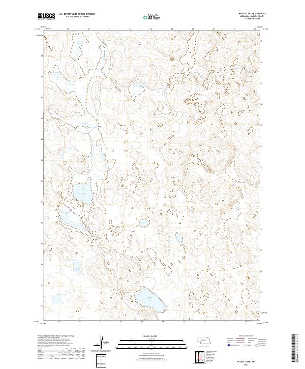
2021 Hessey Lake
Garden County, NE
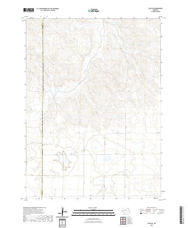
2021 Lisco SE
Garden County, NE
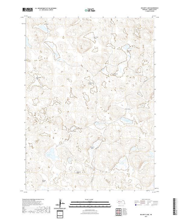
2021 McCarty Lake
Garden County, NE
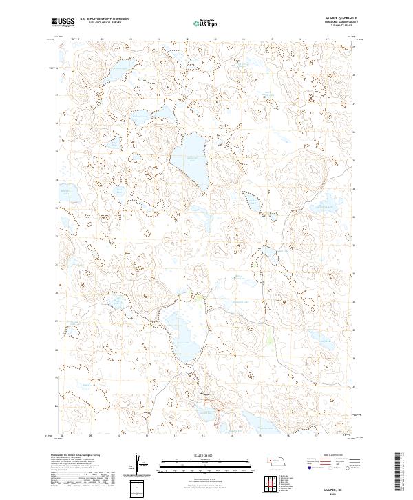
2021 Mumper
Garden County, NE
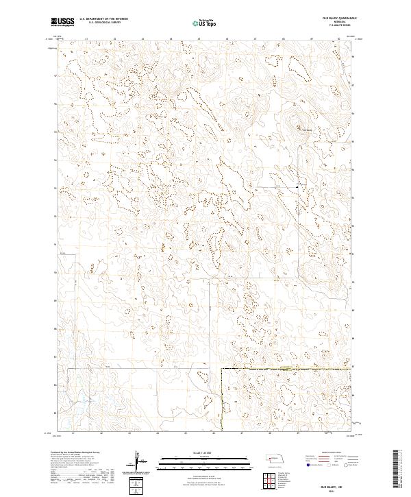
2021 Old Baldy
Garden County, NE
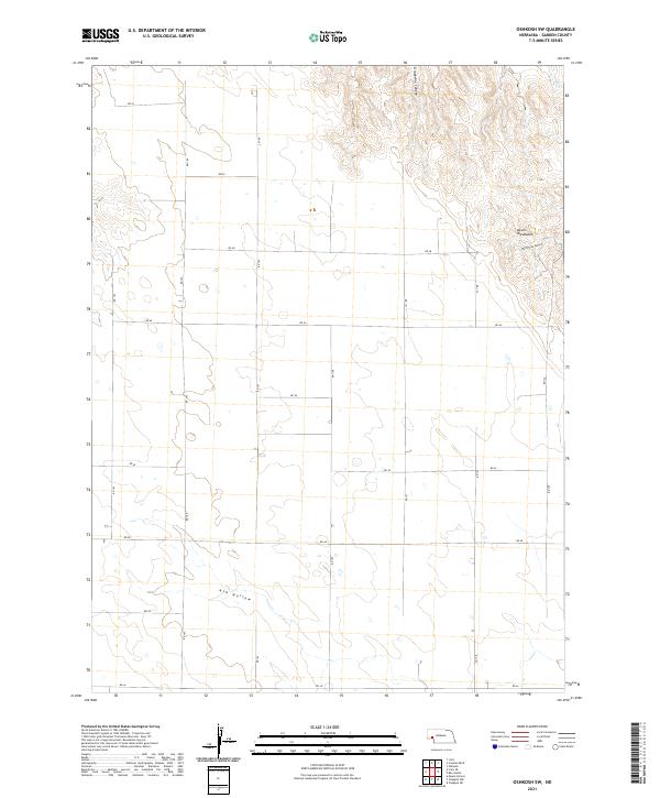
2021 Oshkosh SW
Garden County, NE
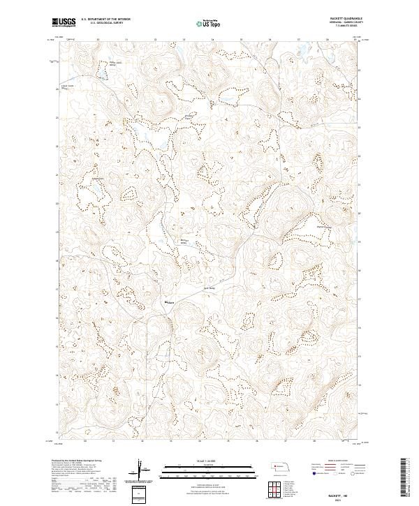
2021 Rackett
Garden County, NE
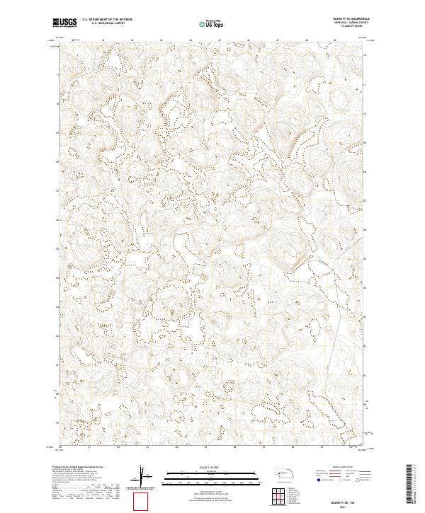
2021 Rackett SE
Garden County, NE
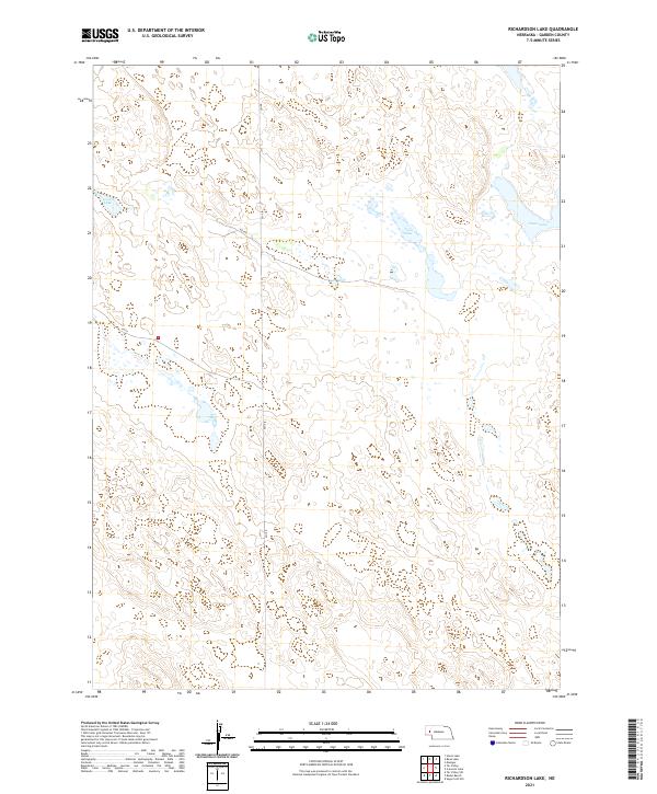
2021 Richardson Lake
Garden County, NE
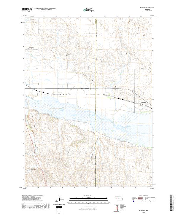
2021 Ruthton
Garden County, NE
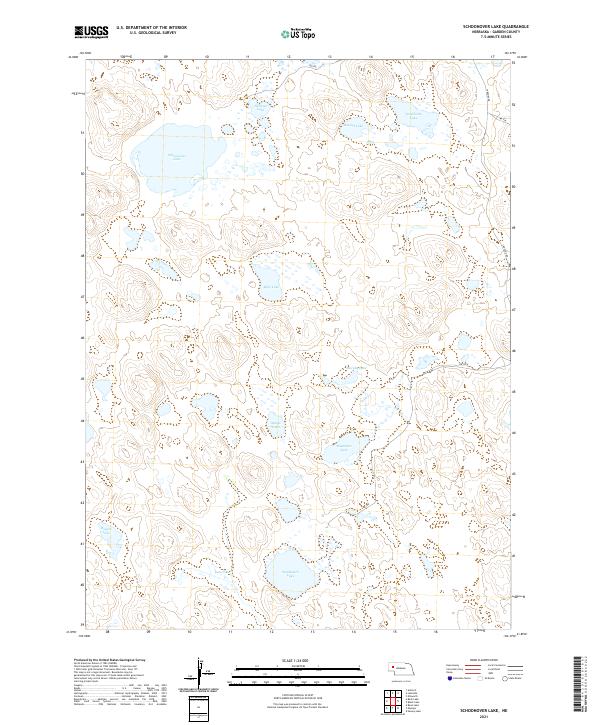
2021 Schoonover Lake
Garden County, NE
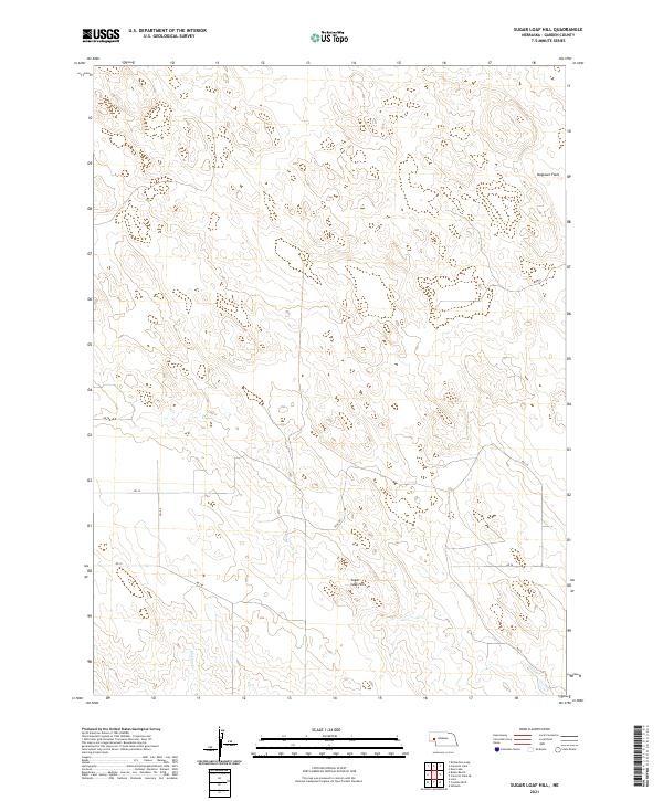
2021 Sugar Loaf Hill
Garden County, NE
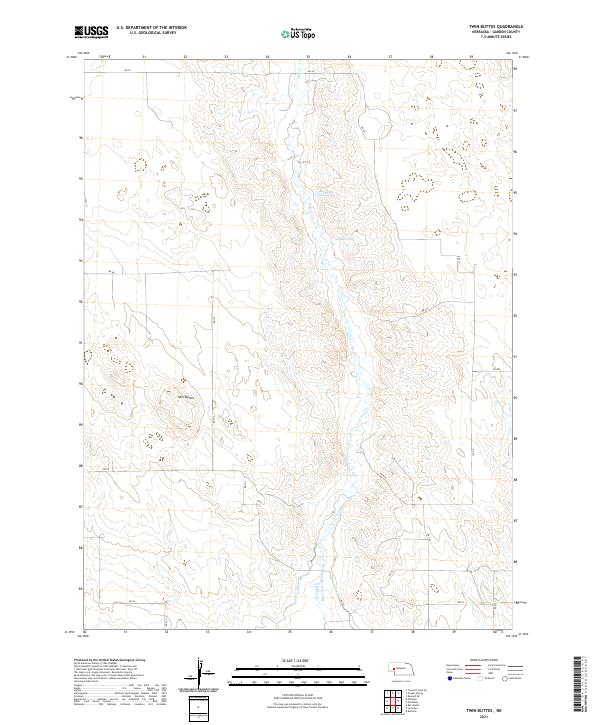
2021 Twin Buttes
Garden County, NE
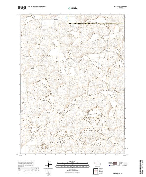
2021 Well Valley
Garden County, NE
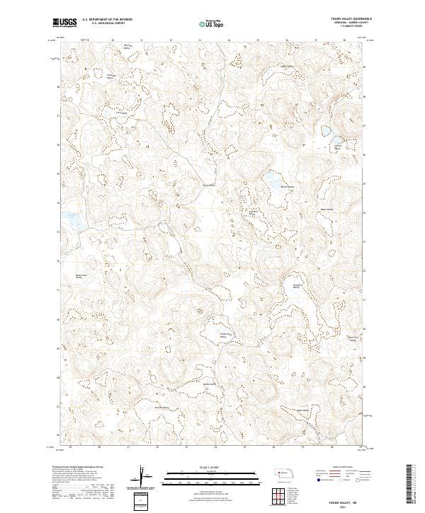
2021 Young Valley
Garden County, NE