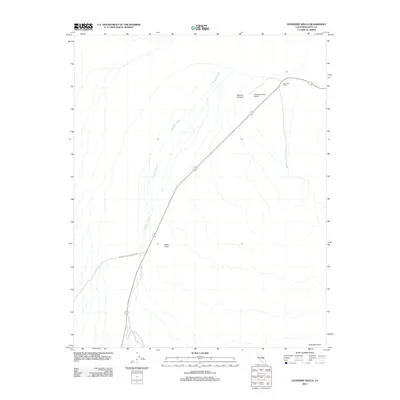
2012 Map of Stovepipe Wells
USGS Topo · Published 2012About this map
Stovepipe Wells serves as the central hub of this desert landscape, situated within the vast boundaries of Death Valley National Park. The settlement's infrastructure is anchored by the Stovepipe Wells Airport, which provides essential access to this arid region. The topography is defined by significant elevation changes, ranging from the alluvial fan of Emigrant Wash to the prominent heights of Tucki Mountain and Black Point. Geological features like Mosaic Canyon illustrate the erosive forces that shape the desert floor and its surrounding peaks. This 2012 survey documents the area's essential transit corridors and protected park lands, showing how the limited human footprint centers on the road through the wash and the small outpost at the wells.
Find a feature on this map
7 named features on this map. Tap any name to fly to it.
Don’t see what you’re looking for? This feature index may not catch every label — zoom into the map to look around manually.
Map Details
Editions of this 2012 Stovepipe Wells Map
This is the sole edition of this map. No revisions or reprints were ever made.
Other maps of this area

1908 · Ballarat
USGS Topo · 1:250,000

1913 · Ballarat
USGS Topo · 1:250,000

1948 · Death Valley
USGS Topo · 1:250,000

1951 · Panamint Butte
USGS Topo · 1:62,500

1951 · Marble Canyon
USGS Topo · 1:62,500

1952 · Stovepipe Wells
USGS Topo · 1:62,500

1952 · Emigrant Canyon
USGS Topo · 1:62,500

1954 · Death Valley
USGS Topo · 1:250,000

1956 · Death Valley
USGS Topo · 1:250,000

1957 · Death Valley
USGS Topo · 1:250,000