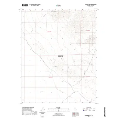
2018 Map of Stovepipe Wells NE
USGS Topo · Published 2018About this map
Death Valley National Park dominates this arid landscape where the eastern edge of the Mojave Desert meets the rising terrain of the Grapevine Mountains. The map reveals a complex system of alluvial fans and drainage channels, most notably the seasonal Salt Cr winding through the basin floor. Topographical details highlight the transition from the low-lying reaches of Death Valley to prominent high-ground features like the Death Valley Buttes and the striking ridgelines of the Kit Fox Hills.
Find a feature on this map
14 named features on this map. Tap any name to fly to it.
Don’t see what you’re looking for? This feature index may not catch every label — zoom into the map to look around manually.
Map Details
Editions of this 2018 Stovepipe Wells NE Map
This is the sole edition of this map. No revisions or reprints were ever made.
Other maps of this area

1908 · Furnace Creek
USGS Topo · 1:250,000

1908 · Ballarat
USGS Topo · 1:250,000

1910 · Furnace Creek
USGS Topo · 1:250,000

1913 · Ballarat
USGS Topo · 1:250,000

1942 · Bullfrog
USGS Topo · 1:125,000

1948 · Death Valley
USGS Topo · 1:250,000

1952 · Chloride Cliff
USGS Topo · 1:50,000

1952 · Stovepipe Wells
USGS Topo · 1:62,500

1954 · Bullfrog
USGS Topo · 1:62,500

1954 · Death Valley
USGS Topo · 1:250,000