Loading...
Loading map...2022 Map of Strang
USGS Topo · Published 2022About this map
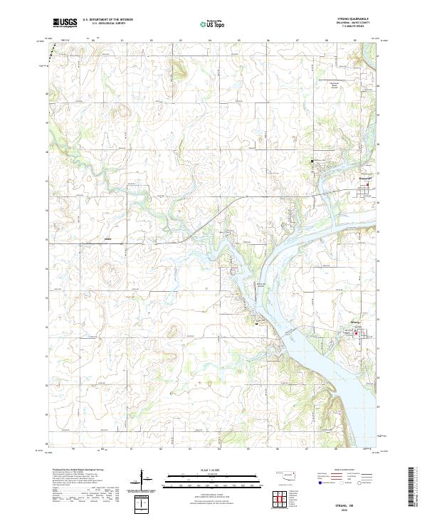
The Neosho River flows prominently through this section of Mayes County, shaping the local geography as it moves toward Galloway Bay. The small settlements of Strang, Pensacola, and the eastern edge of Adair are connected by a network of rural roads such as E0380 Rd and N4400 Rd. This landscape is defined by the convergence of several waterways, including Big Cabin Creek, Rock Creek, and the winding Benge Branch.
Find a feature on this map
60 named features on this map. Tap any name to fly to it.
Don’t see what you’re looking for? This feature index may not catch every label — zoom into the map to look around manually.
Map Details
Date Portrayed2022
Date Published2022
PublisherU.S. Geological Survey
Map TypeTopographic
Scale1:24000
Physical Dimensions24 x 29 inches
Editions of this 2022 Strang Map
This is the sole edition of this map. No revisions or reprints were ever made.
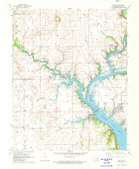
Historical Maps of Adair Through Time
Featured Locations
Source Details
SourceU.S. Geological Survey
CopyrightPublic Domain