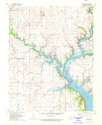
1971 Map of Strang
USGS Topo · Published 1973About this map
Strang and Pensacola anchor this Mayes County landscape as it appeared in the early 1970s, defined by the winding waters of the NeosHO River Lake Hudson. The map documents a predominantly rural region shaped by water management and natural resources, evidenced by the City of Adair Waterworks and various Gravel Pits along the river banks. A legacy of transportation is visible in the Old Railroad Grade north of Strang, while the social fabric of the era is captured through numerous rural congregations including Utopia Ch, Rock Creek Ch, and Greenbriar Ch. Local family histories are preserved at the Ghormley Cem and Benge Cem, situated near the tributaries of Elm Creek and Benge Branch.
Find a feature on this map
23 named features on this map. Tap any name to fly to it.
Don’t see what you’re looking for? This feature index may not catch every label — zoom into the map to look around manually.
Map Details
Editions of this 1971 Strang Map
This is the sole edition of this map. No revisions or reprints were ever made.
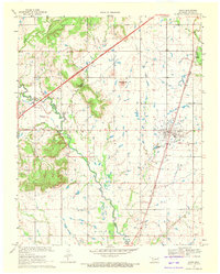
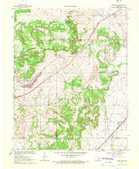
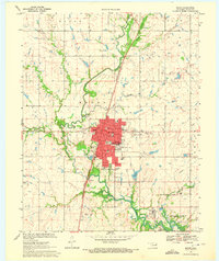
Other maps of this area

1896 · Pryor
USGS Topo · 1:125,000

1901 · Vinita
USGS Topo · 1:125,000

1901 · Pryor
USGS Topo · 1:125,000

1913 · Vinita
USGS Topo · 1:125,000

1954 · Tulsa
USGS Topo · 1:250,000

1958 · Tulsa
USGS Topo · 1:250,000

1963 · Tulsa
USGS Topo · 1:250,000
1969 · Adair
USGS Topo · 1:24,000
1970 · White Oak
USGS Topo · 1:24,000
1970 · Pryor
USGS Topo · 1:24,000