
1913 Map of Vinita
USGS Topo · Published 1913About this map
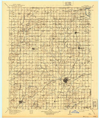
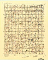
Vinita serves as the primary rail hub on this 1913 survey, situated at the junction of the Missouri Kansas and Texas RR and the St Louis and San Francisco RR. This northeast Oklahoma landscape is densely packed with rural community institutions, reflecting a period of active settlement. Dozens of family-named schools like Sequoyah School and Russell Creek School are distributed across the prairie, while smaller villages like Bluejacket, Centralia, and Whiteoak anchor their respective townships. In the eastern portion of the map, the Neosho River provides a natural boundary, while topographical features such as Grant Mound and Notch Mound punctuate the terrain. The presence of numerous small watercourses like Cabin Creek and Russell Creek suggests a well-watered agricultural region just before the onset of modern industrialization.
Find a feature on this map
149 named features on this map. Tap any name to fly to it.
Don’t see what you’re looking for? This feature index may not catch every label — zoom into the map to look around manually.
Map Details
Editions of this 1913 Vinita Map
3 editions found
Other maps of this area

1886 · Joplin
USGS Topo · 1:125,000

1886 · Independence
USGS Topo · 1:125,000

1886 · Parsons
USGS Topo · 1:125,000

1893 · Parsons
USGS Topo · 1:125,000

1894 · Independence
USGS Topo · 1:125,000

1894 · Joplin
USGS Topo · 1:125,000

1896 · Pryor
USGS Topo · 1:125,000

1899 · Siloam Springs
USGS Topo · 1:125,000

1901 · Claremore
USGS Topo · 1:125,000

1901 · Nowata
USGS Topo · 1:125,000