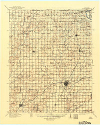
1913 Map of Vinita
USGS Topo · Published 1949About this map
Vinita serves as the focal point of this 1910s survey, marking a significant rail junction where the St Louis and San Francisco RR intersects the Missouri Kansas and Texas RR. The landscape is a dense network of early rural education, featuring dozens of named institutions like the Cobb School, Mineral Hill School, and Goldenrod School scattered across the land. The topography transitions from the banks of the Neosho River in the northeast to the rolling prairies toward Centralia and Chelsea in the west.
Find a feature on this map
143 named features on this map. Tap any name to fly to it.
Don’t see what you’re looking for? This feature index may not catch every label — zoom into the map to look around manually.
Map Details
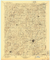
Editions of this 1913 Vinita Map
3 editions found

Other maps of this area

1886 · Joplin
USGS Topo · 1:125,000

1886 · Independence
USGS Topo · 1:125,000

1886 · Parsons
USGS Topo · 1:125,000

1893 · Parsons
USGS Topo · 1:125,000

1894 · Independence
USGS Topo · 1:125,000

1894 · Joplin
USGS Topo · 1:125,000

1896 · Pryor
USGS Topo · 1:125,000

1899 · Siloam Springs
USGS Topo · 1:125,000

1901 · Claremore
USGS Topo · 1:125,000

1901 · Nowata
USGS Topo · 1:125,000