1969 Map of Adair
USGS Topo · Published 1971About this map
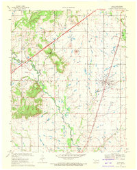
Jesse James Hill and the adjacent Whiskey Gap form a prominent topographic landmark in this section of Mayes County, where the hills rise sharply above the surrounding prairie. This 1969 snapshot of the landscape shows the town of Adair as a vital junction point where the Missouri - Kansas - Texas railroad meets several regional roads. The town is flanked by historic community sites including Adair Cem, West Adair Cem, and a Radio Tower.
Find a feature on this map
26 named features on this map. Tap any name to fly to it.
Don’t see what you’re looking for? This feature index may not catch every label — zoom into the map to look around manually.
Map Details
Editions of this 1969 Adair Map
This is the sole edition of this map. No revisions or reprints were ever made.
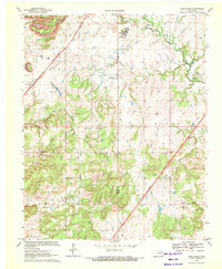
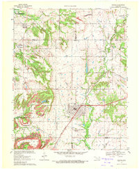
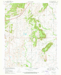
Other maps of this area

1896 · Pryor
USGS Topo · 1:125,000

1901 · Vinita
USGS Topo · 1:125,000

1901 · Pryor
USGS Topo · 1:125,000

1913 · Vinita
USGS Topo · 1:125,000

1954 · Tulsa
USGS Topo · 1:250,000

1958 · Tulsa
USGS Topo · 1:250,000

1963 · Tulsa
USGS Topo · 1:250,000
1970 · Bushyhead
USGS Topo · 1:24,000
1970 · Chelsea
USGS Topo · 1:24,000
1970 · Osage Hills
USGS Topo · 1:24,000