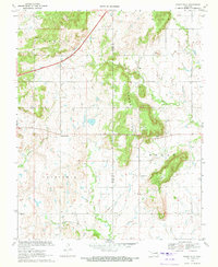
1970 Map of Osage Hills
USGS Topo · Published 1972About this map
Harmony Star and the undulating terrain of the Osage Hills define this corner of Northeast Oklahoma during the early 1970s. The map illustrates a transitional landscape where the infrastructure of the Will Rogers Toll Road cuts across the more traditional rural patterns of the Rogers Co and Mayes Co border. Local life is anchored by landmarks such as Union Chapel and Pleasant View Ch, alongside the Osage Sch, serving the surrounding agricultural and industrial interests. Resource extraction and utility management are evident through the presence of a Gravel Pit, an Oil Well, and a Pumping Station. Natural features like Chouteau Creek, Seminole Creek, and Bald Knob provide a topographic framework for researchers tracing family holdings or historical infrastructure like the Aqueduct and various pipelines that traverse the Verdigris and Hogan regions.
Find a feature on this map
27 named features on this map. Tap any name to fly to it.
Don’t see what you’re looking for? This feature index may not catch every label — zoom into the map to look around manually.
Map Details
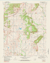
Editions of this 1970 Osage Hills Map
2 editions found
Other maps of this area

1896 · Pryor
USGS Topo · 1:125,000

1901 · Claremore
USGS Topo · 1:125,000

1901 · Pryor
USGS Topo · 1:125,000

1914 · Claremore
USGS Topo · 1:125,000

1916 · Claremore
USGS Topo · 1:125,000

1954 · Tulsa
USGS Topo · 1:250,000

1958 · Tulsa
USGS Topo · 1:250,000

1963 · Tulsa
USGS Topo · 1:250,000
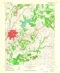
1963 · Claremore
USGS Topo · 1:24,000
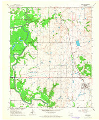
1963 · Inola
USGS Topo · 1:24,000