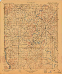
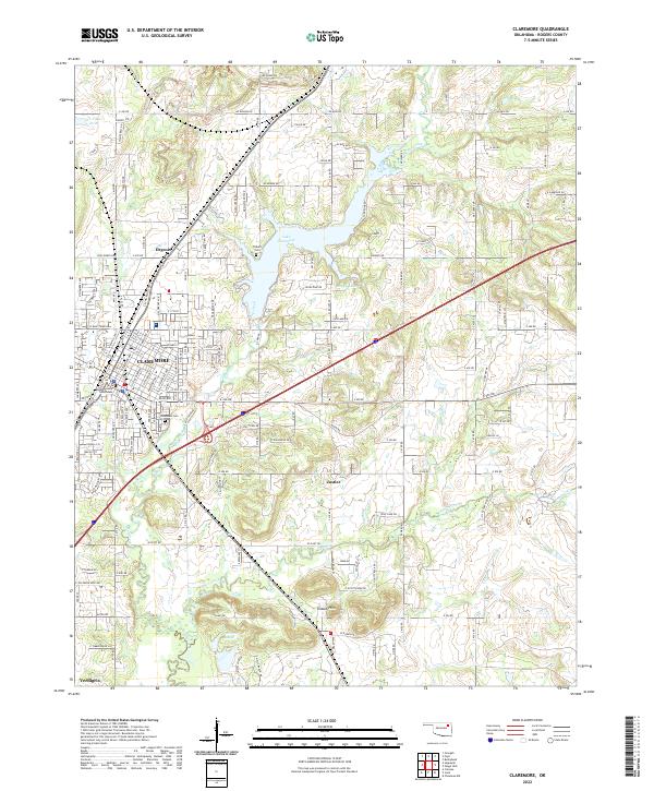
1914 Map of Claremore
USGS Topo · Published 1959About this map
The Verdigris River and Caney River converge in this pre-World War I survey of Northeastern Oklahoma, a landscape dominated by the winding river systems and the early expansion of the Atchison Topeka and Santa Fe and Missouri Kansas and Texas railroads. Small settlements like Collinsville and Skiatook appear as fledgling hubs, while the map preserves the exact locations of numerous rural institutions such as Greenwood Chapel and Blue Creek School. A notable industrial presence is marked by a Sawmill near the southern bend of the Verdigris, south of Inola. Historical transit points including Thomas Ferry and Fox Taylor Ford provide rare evidence of local river crossings before modern bridge infrastructure. The terrain is further defined by distinctive landmarks such as Lipe Mound and Claremore Mound, standing out in an area where the transition from Osage and Cherokee lands to the growing city of Tulsa is clearly visible.
Find a feature on this map
150 named features on this map. Tap any name to fly to it.
Don’t see what you’re looking for? This feature index may not catch every label — zoom into the map to look around manually.
Map Details
Editions of this 1914 Claremore Map
This is the sole edition of this map. No revisions or reprints were ever made.
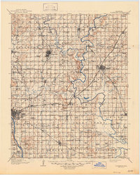
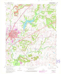
Historical Maps of Tulsa Through Time
9 maps found