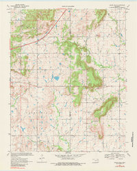
1970 Map of Osage Hills
USGS Topo · Published 1984About this map
The ridge of the Osage Hills dominates the central landscape of this Rogers and Mayes County border region, creating a natural divide between the eastern plains and the valley to the west. Small community centers like Harmony Star and Pleasant View Ch serve as local anchors in an area defined by its rural intersections and scattered family-named landmarks. The terrain is marked by prominent elevations such as Bald Knob, while drainage patterns are defined by Seminole Creek and Chouteau Creek.
Find a feature on this map
28 named features on this map. Tap any name to fly to it.
Don’t see what you’re looking for? This feature index may not catch every label — zoom into the map to look around manually.
Map Details
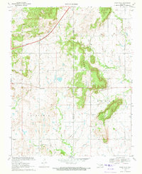
Editions of this 1970 Osage Hills Map
2 editions found
Other maps of this area

1896 · Pryor
USGS Topo · 1:125,000

1901 · Claremore
USGS Topo · 1:125,000

1901 · Pryor
USGS Topo · 1:125,000

1914 · Claremore
USGS Topo · 1:125,000

1916 · Claremore
USGS Topo · 1:125,000

1954 · Tulsa
USGS Topo · 1:250,000

1958 · Tulsa
USGS Topo · 1:250,000

1963 · Tulsa
USGS Topo · 1:250,000
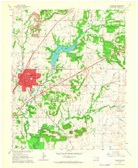
1963 · Claremore
USGS Topo · 1:24,000
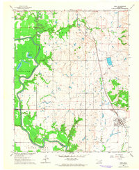
1963 · Inola
USGS Topo · 1:24,000