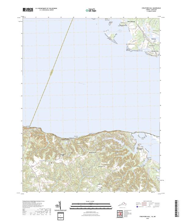
2022 Map of Stratford Hall
USGS Topo · Published 2022About this map
The Potomac River dominates this landscape, where the northern neck of Virginia meets the waters of Maryland. Along the southern shore, the iconic Stratford Cliffs and Nomini Cliffs rise above the river, providing a dramatic backdrop for the historical grounds of Stratford Hall. This area is characterized by a network of tidal creeks and marshes, such as Currioman Bay and Dukeharts Creek, which have long shaped local commerce and settlement patterns. The land is dissected by numerous small runs, including Little Meadow Run and Big Meadow Run, which feed into larger bodies like the Stratford Millpond. Inland, small crossroads and settlements such as Lerty, Chisford, and Chiltons are connected by a web of rural routes like Stratford Hall Rd and Chilton Rd. This 2022 survey preserves the locations of local landmarks including the Shiloh Baptist Church Cem and the riverfront community of Coltons Point across the water in Maryland.
Find a feature on this map
93 named features on this map. Tap any name to fly to it.
Don’t see what you’re looking for? This feature index may not catch every label — zoom into the map to look around manually.
Map Details
Editions of this 2022 Stratford Hall Map
This is the sole edition of this map. No revisions or reprints were ever made.
Other maps of this area

1892 · Leonardtown
USGS Topo · 1:62,500

1892 · Piney Point
USGS Topo · 1:62,500

1892 · Montross
USGS Topo · 1:62,500

1894 · Wicomico
USGS Topo · 1:62,500

1894 · Piney Point
USGS Topo · 1:62,500

1895 · Wicomico
USGS Topo · 1:62,500

1895 · Leonardtown
USGS Topo · 1:62,500

1895 · Nomini
USGS Topo · 1:125,000

1895 · Piney Point
USGS Topo · 1:62,500

1895 · Montross
USGS Topo · 1:62,500