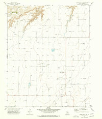
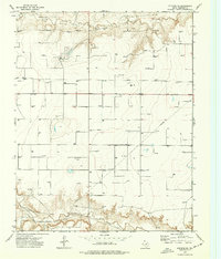
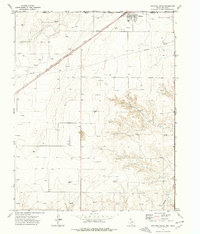
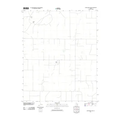
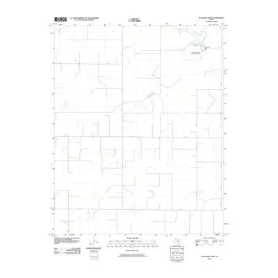
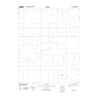
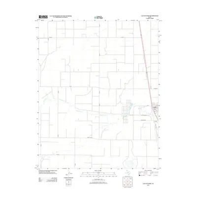
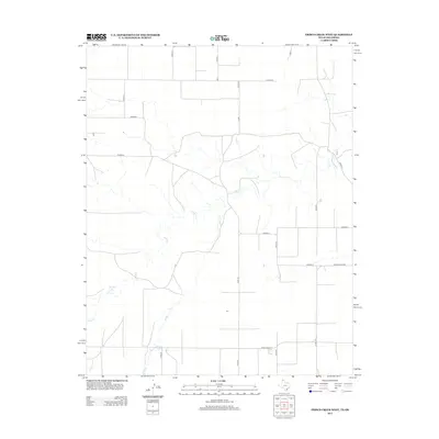
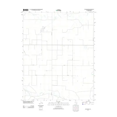
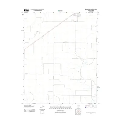
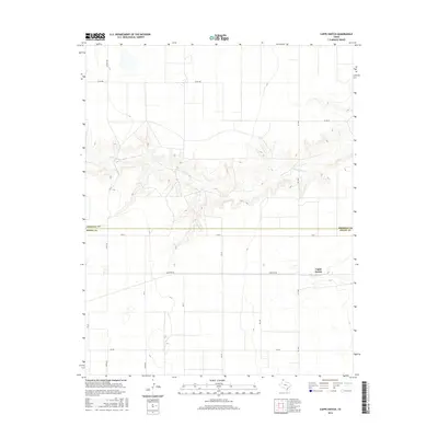
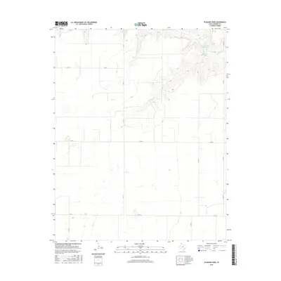
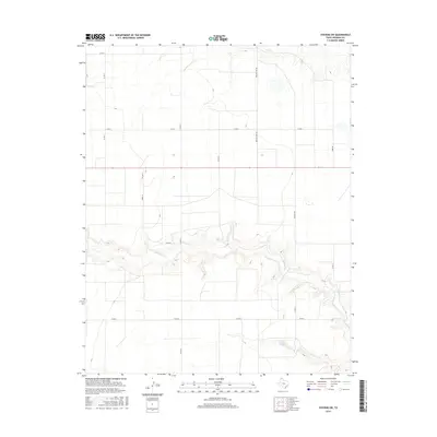
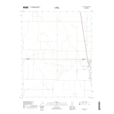
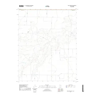
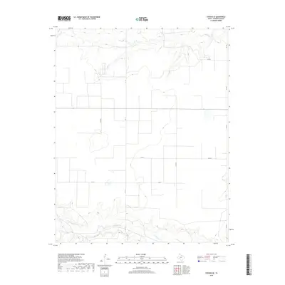
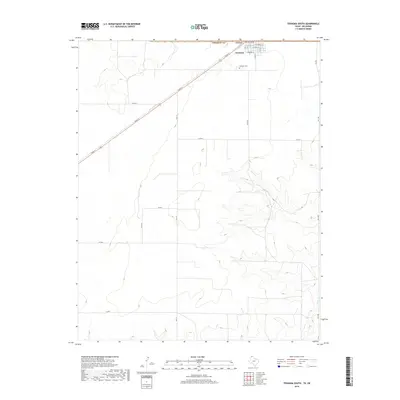
1964 Map of Stratford NE
USGS Topo · Published 1966About this map
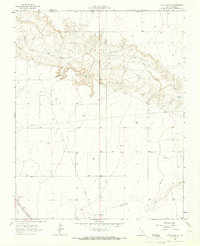
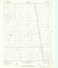
The North Canadian River carves a deep, winding path across the northern reaches of the Texas Panhandle, defining the rugged breaks between Sherman County and the Oklahoma state line. This mid-1960s landscape is characterized by its isolation and the industrial footprint of energy extraction, evidenced by numerous Oil Wells and a solitary Oil Well scattered across the high plains. In the southwest corner, the Atchison Topeka and Santa Fe railroad cuts across the terrain, providing a vital transit link near a small Roadside Park. To the south, the gentler drainage of Frisco Creek meanders through the plains, contrasting with the dramatic topography of the river bluffs. This survey provides a precise record of the agricultural and mineral landscape during a period of steady petroleum development in the High Plains.
Find a feature on this map
10 named features on this map. Tap any name to fly to it.
Don’t see what you’re looking for? This feature index may not catch every label — zoom into the map to look around manually.
Map Details
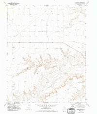
Editions of this 1964 Stratford NE Map
This is the sole edition of this map. No revisions or reprints were ever made.
Historical Maps of Sherman County Through Time
84 maps found
1963 Cactus East
Sherman County, TX
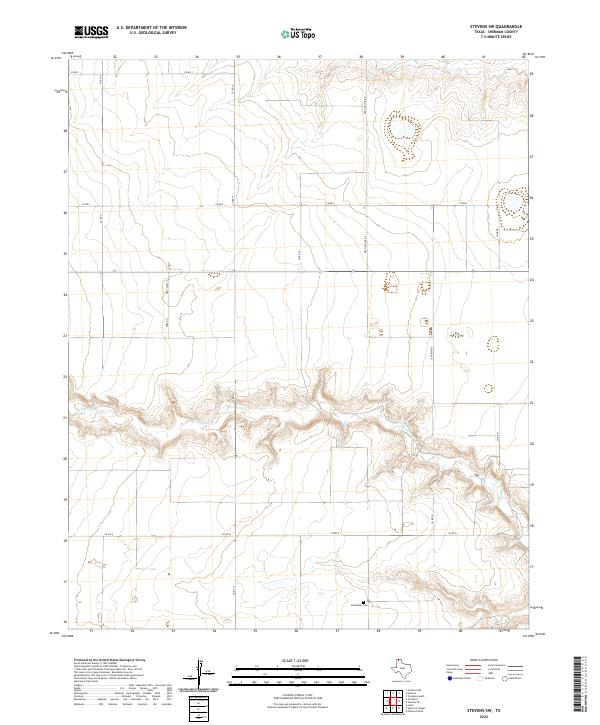
1964 Stevens SW
Sherman County, TX
1964 Stratford NE
Sherman County, TX
1965 Cactus West
Sherman County, TX
1965 Lautz
Sherman County, TX
1965 Spurlock Chapel
Sherman County, TX
1965 Stevens
Sherman County, TX
1972 Capps Switch
Sherman County, TX
1974 Capps Switch NW
Sherman County, TX
1974 Coldwater Creek
Sherman County, TX
1974 Frisco Creek West
Sherman County, TX
1974 Pleasure Pond
Sherman County, TX
1974 Stevens SE
Sherman County, TX
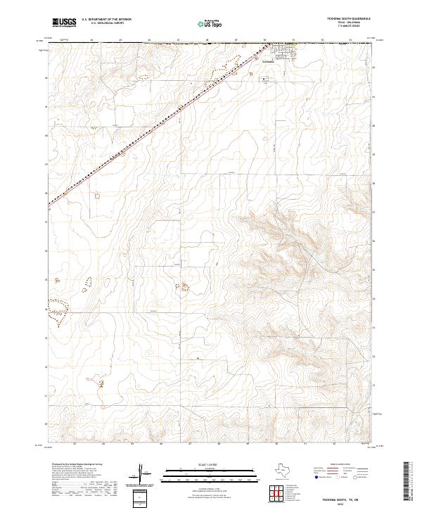
1974 Texhoma South
Sherman County, TX
2010 Cactus East
Sherman County, TX
2010 Cactus West
Sherman County, TX
2010 Capps Switch NW
Sherman County, TX
2010 Capps Switch
Sherman County, TX

2010 Coldwater Creek
Sherman County, TX
2010 Frisco Creek West
Sherman County, TX
2010 Lautz
Sherman County, TX
2010 Pleasure Pond
Sherman County, TX
2010 Spurlock Chapel
Sherman County, TX
2010 Stevens SE
Sherman County, TX
2010 Stevens
Sherman County, TX
2010 Stevens SW
Sherman County, TX
2010 Texhoma South
Sherman County, TX
2011 Stratford NE
Sherman County, TX
2012 Cactus East
Sherman County, TX
2012 Cactus West
Sherman County, TX
2012 Capps Switch NW
Sherman County, TX
2012 Capps Switch
Sherman County, TX
2012 Coldwater Creek
Sherman County, TX
2012 Frisco Creek West
Sherman County, TX
2012 Lautz
Sherman County, TX
2012 Pleasure Pond
Sherman County, TX
2012 Spurlock Chapel
Sherman County, TX
2012 Stevens SE
Sherman County, TX
2012 Stevens
Sherman County, TX
2012 Stevens SW
Sherman County, TX
2012 Stratford NE
Sherman County, TX
2012 Texhoma South
Sherman County, TX
2016 Cactus East
Sherman County, TX
2016 Cactus West
Sherman County, TX
2016 Capps Switch NW
Sherman County, TX
2016 Capps Switch
Sherman County, TX
2016 Coldwater Creek
Sherman County, TX
2016 Frisco Creek West
Sherman County, TX
2016 Lautz
Sherman County, TX
2016 Pleasure Pond
Sherman County, TX
2016 Spurlock Chapel
Sherman County, TX
2016 Stevens SE
Sherman County, TX
2016 Stevens
Sherman County, TX
2016 Stevens SW
Sherman County, TX
2016 Stratford NE
Sherman County, TX
2016 Texhoma South
Sherman County, TX
2019 Cactus East
Sherman County, TX
2019 Cactus West
Sherman County, TX
2019 Capps Switch NW
Sherman County, TX
2019 Capps Switch
Sherman County, TX
2019 Coldwater Creek
Sherman County, TX
2019 Frisco Creek West
Sherman County, TX
2019 Lautz
Sherman County, TX
2019 Pleasure Pond
Sherman County, TX
2019 Spurlock Chapel
Sherman County, TX
2019 Stevens SE
Sherman County, TX
2019 Stevens
Sherman County, TX
2019 Stevens SW
Sherman County, TX
2019 Stratford NE
Sherman County, TX
2019 Texhoma South
Sherman County, TX
2022 Cactus East
Sherman County, TX
2022 Cactus West
Sherman County, TX
2022 Capps Switch NW
Sherman County, TX
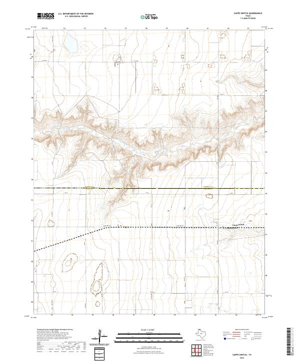
2022 Capps Switch
Sherman County, TX
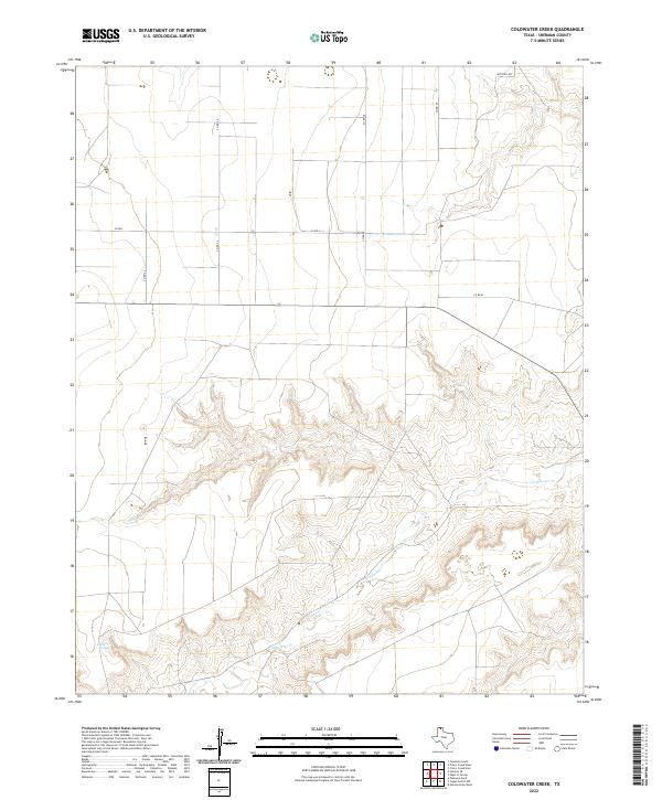
2022 Coldwater Creek
Sherman County, TX
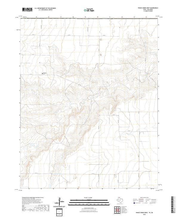
2022 Frisco Creek West
Sherman County, TX
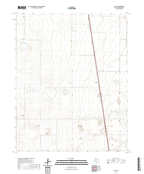
2022 Lautz
Sherman County, TX
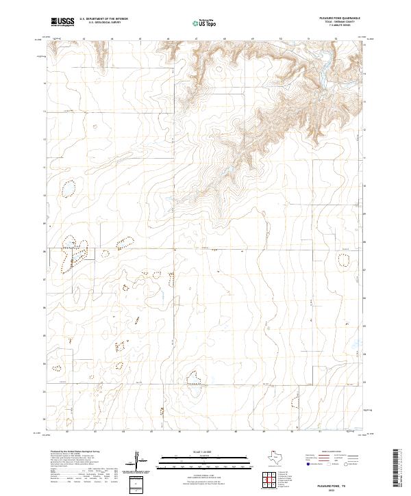
2022 Pleasure Pond
Sherman County, TX
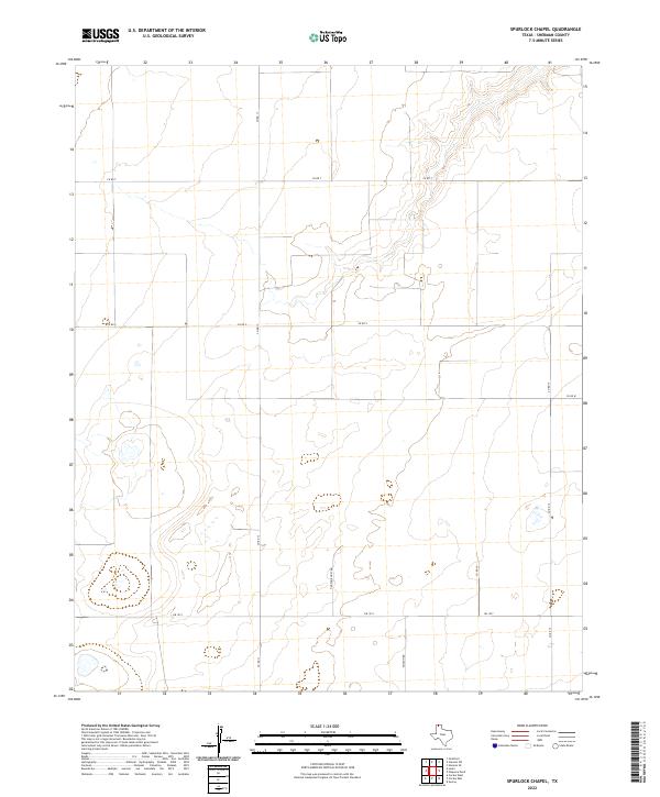
2022 Spurlock Chapel
Sherman County, TX
2022 Stevens SE
Sherman County, TX
2022 Stevens
Sherman County, TX
2022 Stevens SW
Sherman County, TX

2022 Stratford NE
Sherman County, TX
2022 Texhoma South
Sherman County, TX