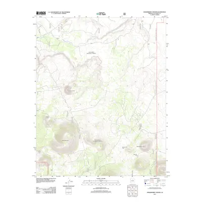
2011 Map of Strawberry Crater
USGS Topo · Published 2011About this map
Strawberry Crater and the dark volcanic expanse of the Kana-a Lava Flow dominate this high-desert landscape in Coconino County. The map provides a detailed view of a geologically active area where ancient cinder cones and craters rise above the terrain, including Black Bottom Crater and the prominent Black Mountain. Human presence in this arid environment is marked primarily by ranching infrastructure and forest access, seen in the network of Forest Service roads like FS RD 8005 and isolated water points such as Trick Tank and Section 13 Water Tank. The drainage of Deadman Wash cuts across the northern section of the quadrangle, which also encompasses the wide depressions of Oleary Basin and Haywire Flat. This document captures the intersection of Coconino National Forest management and the distinct volcanic features of the San Francisco Volcanic Field as they were recorded in 2011.
Find a feature on this map
35 named features on this map. Tap any name to fly to it.
Don’t see what you’re looking for? This feature index may not catch every label — zoom into the map to look around manually.
Map Details
Editions of this 2011 Strawberry Crater Map
This is the sole edition of this map. No revisions or reprints were ever made.
Other maps of this area

1886 · San Francisco Mtns
USGS Topo · 1:250,000

1891 · San Francisco Mtns
USGS Topo · 1:250,000

1894 · San Francisco Mtns
USGS Topo · 1:250,000

1899 · San Francisco Mtns
USGS Topo · 1:250,000

1908 · Flagstaff
USGS Topo · 1:125,000

1912 · Flagstaff
USGS Topo · 1:125,000

1947 · Flagstaff
USGS Topo · 1:250,000

1954 · Flagstaff
USGS Topo · 1:250,000

1958 · Flagstaff
USGS Topo · 1:250,000

1960 · Flagstaff
USGS Topo · 1:250,000