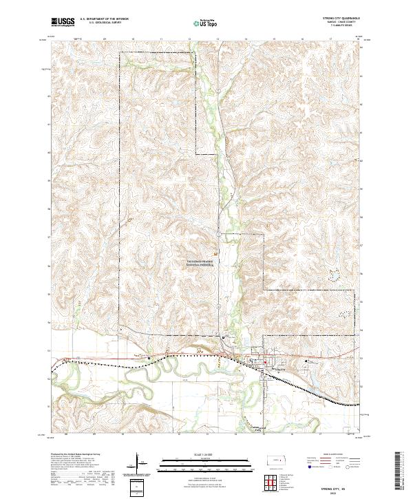
2022 Map of Strong City
USGS Topo · Published 2022About this map
Tallgrass Prairie National Preserve dominates the northern landscape of this region, preserving a significant portion of the Flint Hills ecosystem. The terrain is defined by the winding course of the Cottonwood River, which flows between the neighboring settlements of Strong City and Cottonwood Falls. This area serves as a primary corridor for local travel and commerce, with Old Hwy 50 tracing the valley floor. Genealogists can locate several burial sites within this small radius, including Strong Township Cem, Saint Anthony Cem, and Simmons Cem. The map detail shows a transition from the preserved prairie uplands to the cultivated river bottomlands, where numerous tributaries like Prather Cr, Fox Cr, and Stout Run converge. To the west, the small community of Neva sits near the river bends, marking a quiet point in the agricultural landscape of Chase County.
Find a feature on this map
33 named features on this map. Tap any name to fly to it.
Don’t see what you’re looking for? This feature index may not catch every label — zoom into the map to look around manually.
Map Details
Editions of this 2022 Strong City Map
This is the sole edition of this map. No revisions or reprints were ever made.
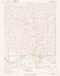
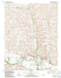
Historical Maps of Neva Through Time
3 maps found