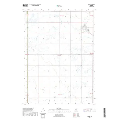
2017 Map of Stuart
USGS Topo · Published 2017About this map
The settlement of Stuart serves as the focal point of this Nebraska landscape, situated near the northeastern corner of the map. The town's grid is clearly defined by named thoroughfares such as Washington St, Main St, and Garfield St, showcasing the organized growth of this rural community. This area is defined by the complex hydrology of the Sandhills transition, where the Elkhorn River is fed by several tributaries including the N Br Elkhorn River and S Fork Elkhorn River.
Find a feature on this map
39 named features on this map. Tap any name to fly to it.
Don’t see what you’re looking for? This feature index may not catch every label — zoom into the map to look around manually.
Map Details
Editions of this 2017 Stuart Map
This is the sole edition of this map. No revisions or reprints were ever made.
Other maps of this area
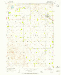
1954 · Stuart
USGS Topo · 1:24,000
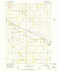
1954 · Stuart SE
USGS Topo · 1:24,000
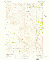
1954 · Stuart NW
USGS Topo · 1:24,000
1954 · Newport NE
USGS Topo · 1:24,000
1954 · Newport
USGS Topo · 1:24,000
1954 · Stuart NE
USGS Topo · 1:24,000
1955 · O'Neill
USGS Topo · 1:250,000
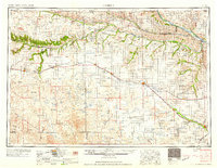
1959 · O'Neill
USGS Topo · 1:250,000
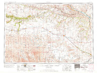
1969 · O'Neill
USGS Topo · 1:250,000
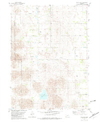
1982 · Dora Lake
USGS Topo · 1:24,000