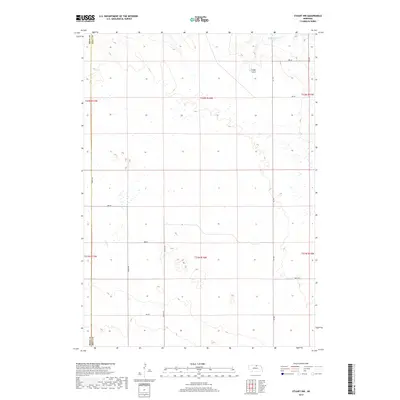
2017 Map of Stuart NW
USGS Topo · Published 2017About this map
The Rock Co Holt Co line defines the western edge of this Nebraska landscape, where the Sandhills terrain transitions toward more organized section lines. Water management is central to the area's geography, evidenced by the MMK Reservoir Number 1 and drainage systems like Otter Cr, Ash Cr, and the natural depression of Cedar Gulch. This 2017 survey reflects a remote agricultural and ranching environment, structured by an extensive grid of rural corridors such as 889 RD and 467 Ave. The map reveals how the physical geography of the High Plains is overlayed with the Public Land Survey System, with township boundaries like t32n r16w and t31n r16w organizing the vast, open acreage of north-central Nebraska.
Find a feature on this map
22 named features on this map. Tap any name to fly to it.
Don’t see what you’re looking for? This feature index may not catch every label — zoom into the map to look around manually.
Map Details
Editions of this 2017 Stuart NW Map
This is the sole edition of this map. No revisions or reprints were ever made.
Other maps of this area
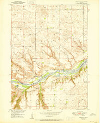
1950 · Mariaville
USGS Topo · 1:24,000
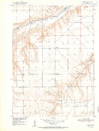
1951 · Dustin
USGS Topo · 1:24,000
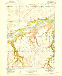
1951 · Naper SW
USGS Topo · 1:24,000
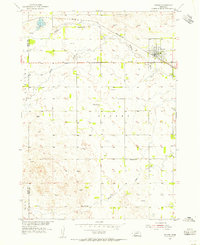
1954 · Stuart
USGS Topo · 1:24,000
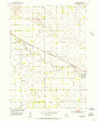
1954 · Stuart SE
USGS Topo · 1:24,000
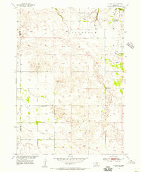
1954 · Stuart NW
USGS Topo · 1:24,000
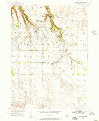
1954 · Newport NE
USGS Topo · 1:24,000
1954 · Newport
USGS Topo · 1:24,000
1954 · Stuart NE
USGS Topo · 1:24,000

1955 · O'Neill
USGS Topo · 1:250,000