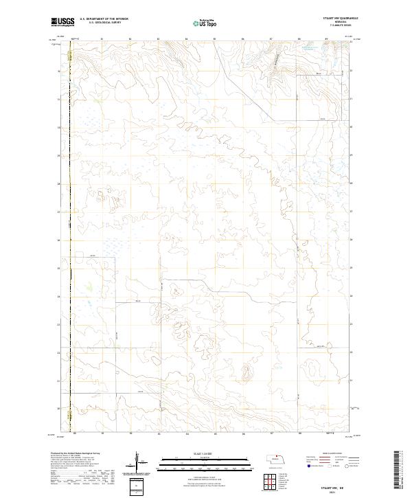
2021 Map of Stuart NW
USGS Topo · Published 2021About this map
The Rock Co Holt Co boundary line divides this section of the Nebraska Sandhills, where the landscape is defined by a sparse network of county roads and vital water sources. The northern reaches of the quadrangle are marked by the presence of MMK Reservoir Number 1, which sits near the drainage of Cedar Gulch. This area is characterized by its drainage patterns, with Otter Cr and Ash Cr threading through the terrain, supporting the agricultural and ranching operations of the region. The grid of section lines is serviced by a regular system of numbered roads, including 462nd Ave and 464th Ave, providing a window into the modern rural infrastructure of t32n r16w and its surrounding townships during the early twenty-first century.
Find a feature on this map
22 named features on this map. Tap any name to fly to it.
Don’t see what you’re looking for? This feature index may not catch every label — zoom into the map to look around manually.
Map Details
Editions of this 2021 Stuart NW Map
This is the sole edition of this map. No revisions or reprints were ever made.
Other maps of this area

1950 · Mariaville
USGS Topo · 1:24,000

1951 · Dustin
USGS Topo · 1:24,000

1951 · Naper SW
USGS Topo · 1:24,000

1954 · Stuart
USGS Topo · 1:24,000

1954 · Stuart SE
USGS Topo · 1:24,000

1954 · Stuart NW
USGS Topo · 1:24,000

1954 · Newport NE
USGS Topo · 1:24,000

1954 · Newport
USGS Topo · 1:24,000

1954 · Stuart NE
USGS Topo · 1:24,000

1955 · O'Neill
USGS Topo · 1:250,000