Loading...
Loading map...2022 Map of Stuart
USGS Topo · Published 2022About this map
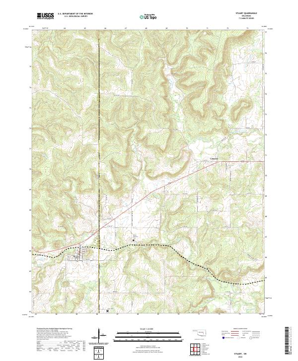
The town of Stuart serves as the primary hub in this corner of Oklahoma, where the boundary between Hughes Co and Pittsburg Co divides a landscape defined by rolling drainages. The street grid of Stuart, including Roosevelt Ave and Stuart Ave, sits near the southern bank of Coal Creek, reflecting the importance of water access for early settlement and livestock. Further east, the small community of Cabaniss remains connected to the interior via Cabiness Rd.
Find a feature on this map
52 named features on this map. Tap any name to fly to it.
Don’t see what you’re looking for? This feature index may not catch every label — zoom into the map to look around manually.
Map Details
Date Portrayed2022
Date Published2022
PublisherU.S. Geological Survey
Map TypeTopographic
Scale1:24000
Physical Dimensions24 x 29 inches
Editions of this 2022 Stuart Map
This is the sole edition of this map. No revisions or reprints were ever made.
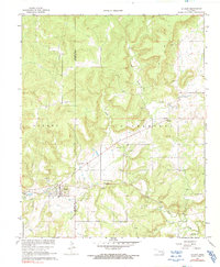
Historical Maps of Cabaniss Through Time
Featured Locations
Source Details
SourceU.S. Geological Survey
CopyrightPublic Domain