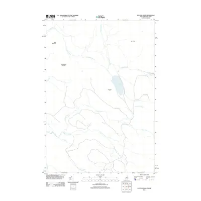
2012 Map of Success Pond
USGS Topo · Published 2012About this map
Success Pond sits at the heart of this landscape in the northern New Hampshire woods, surrounded by the high elevations of Bald Mountain and Chickwolnepy Mountain. The topography is defined by an intricate network of waterways, including the winding Chickwolnepy Stream and the various branches of Stearns Brook. This map documents the area during a period of modern recreational and timber access, shown through the network of forest routes like Success Pond Rd and Mary Grande Rd.
Find a feature on this map
20 named features on this map. Tap any name to fly to it.
Don’t see what you’re looking for? This feature index may not catch every label — zoom into the map to look around manually.
Map Details
Editions of this 2012 Success Pond Map
This is the sole edition of this map. No revisions or reprints were ever made.
Other maps of this area

1893 · Gorham
USGS Topo · 1:62,500

1896 · Gorham
USGS Topo · 1:62,500

1914 · Bethel
USGS Topo · 1:62,500

1930 · Milan
USGS Topo · 1:62,500

1933 · Milan
USGS Topo · 1:62,500

1934 · Milan
USGS Topo · 1:62,500

1937 · Gorham
USGS Topo · 1:48,000

1940 · Bethel
USGS Topo · 1:62,500

1941 · Bethel
USGS Topo · 1:62,500

1942 · Gorham
USGS Topo · 1:62,500