
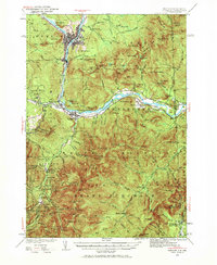
1937 Map of Gorham
USGS Topo · Published 1937About this map
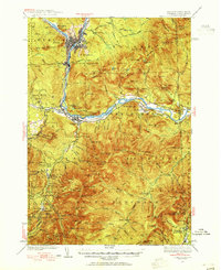
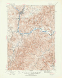
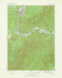
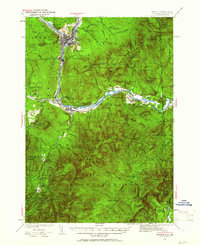
The Androscoggin River carves a path through the heart of this White Mountain landscape, serving as the industrial and transportation corridor for Berlin and Gorham. In the late 1930s, the region was defined by its timber and rail connections, with the Grand Trunk Railway and Maine Central Railroad tracing the riverbanks and valley floors. This survey captures a moment of significant federal investment in the back-country, notably seen in the presence of the CCC Camp Gorham and CCC Peabody Camp, marking the labor of the Civilian Conservation Corps in developing the White Mountain National Forest.
Find a feature on this map
141 named features on this map. Tap any name to fly to it.
Don’t see what you’re looking for? This feature index may not catch every label — zoom into the map to look around manually.
Map Details
Editions of this 1937 Gorham Map
6 editions found
Other maps of this area

1893 · Mt. Washington
USGS Topo · 1:62,500

1893 · Gorham
USGS Topo · 1:62,500

1894 · North Conway
USGS Topo · 1:62,500

1895 · Crawford Notch
USGS Topo · 1:62,500

1896 · Mt. Washington
USGS Topo · 1:62,500

1896 · Crawford Notch
USGS Topo · 1:62,500

1896 · North Conway
USGS Topo · 1:62,500

1896 · Gorham
USGS Topo · 1:62,500

1909 · Fryeburg
USGS Topo · 1:62,500

1911 · Fryeburg
USGS Topo · 1:62,500