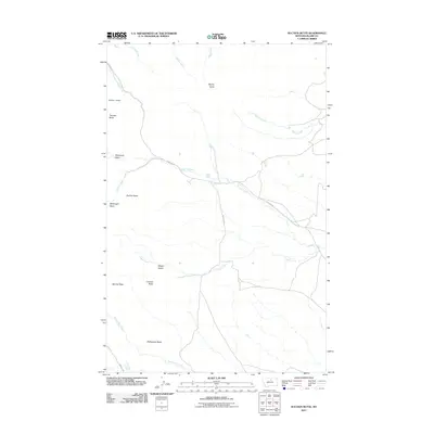
2011 Map of Suction Butte
USGS Topo · Published 2011About this map
Suction Butte and a series of prominent rises including Thunder Butte and Myrtle Butte define this high-plains landscape in Blaine County. The area is characterized by vast open stretches like the Wilson Desert and low-lying depressions such as McDonald Basin and McDougal Basin. Water management in this arid environment is evidenced by the Number 10 Dam, while natural drainage follows the winding paths of Suction Creek, Myrtle Creek, and Logan Creek. This 2011 survey captures the network of isolated ranch roads, specifically Mitchell Rd and Martens Rd, which provide the primary access through these breaks and buttes. Further south, the terrain transitions toward Lookout Butte and Belcher Peak, showing the characteristic geography of the Hays District before it reaches the Rattlesnake Butte area.
Find a feature on this map
23 named features on this map. Tap any name to fly to it.
Don’t see what you’re looking for? This feature index may not catch every label — zoom into the map to look around manually.
Map Details
Editions of this 2011 Suction Butte Map
This is the sole edition of this map. No revisions or reprints were ever made.
Other maps of this area

1953 · Havre
USGS Topo · 1:250,000
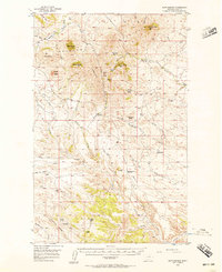
1956 · Rattlesnake
USGS Topo · 1:62,500
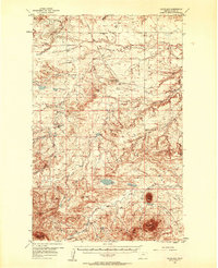
1956 · Cleveland
USGS Topo · 1:62,500

1957 · Havre
USGS Topo · 1:250,000

1958 · Havre
USGS Topo · 1:250,000
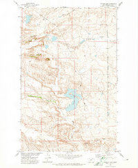
1971 · Putnam Lake
USGS Topo · 1:24,000
1971 · Lake Seventeen West
USGS Topo · 1:24,000
1971 · Newhouse Reservoir
USGS Topo · 1:24,000
1984 · Dodson
USGS Topo · 1:100,000
1987 · Cleveland
USGS Topo · 1:24,000