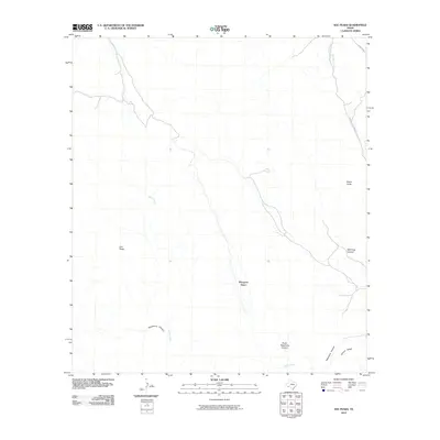
2010 Map of Sue Peaks
USGS Topo · Published 2010About this map
Sue Peaks and the arid highlands of Brewster County define this remote landscape at the turn of the 21st century. The terrain is a complex network of dry washes and high ridges, where drainage patterns like Heath Creek and Stillwell Creek carve through the limestone geology. This survey captures a pocket of the Trans-Pecos region largely untouched by dense development, anchored by significant topographical features such as Sierra Larga and the deep incisions of Wild Hog Canyon and Telephone Canyon. Primitive infrastructure is limited to the eastern edge of the quadrangle, where Stillwell Crossing Rd and FM 2627 Hwy provide the only established access points. Local landforms like Margaret Basin and Hubert Ridge reflect the traditional naming conventions of this sparsely populated desert frontier.
Find a feature on this map
11 named features on this map. Tap any name to fly to it.
Don’t see what you’re looking for? This feature index may not catch every label — zoom into the map to look around manually.
Map Details
Editions of this 2010 Sue Peaks Map
This is the sole edition of this map. No revisions or reprints were ever made.
Other maps of this area

1903 · Chisos Mountains
USGS Topo · 1:125,000

1905 · Chisos Mountains
USGS Topo · 1:125,000

1917 · Bone Spring
USGS Topo · 1:62,500

1918 · Bone Spring
USGS Topo · 1:125,000

1918 · Bone Spring
USGS Topo · 1:62,500

1919 · Maravillas Canyon
USGS Topo · 1:62,500

1920 · Bone Spring
USGS Topo · 1:62,500

1930 · Stillwell Creek
USGS Topo · 1:62,500

1959 · Emory Peak
USGS Topo · 1:250,000

1965 · Emory Peak
USGS Topo · 1:250,000