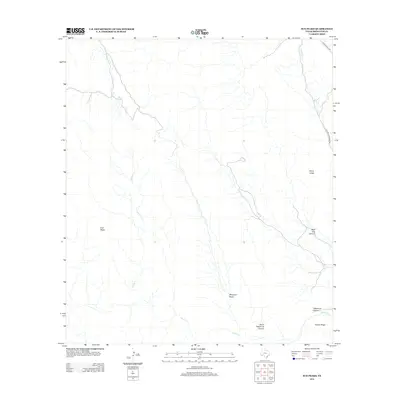
2013 Map of Sue Peaks
USGS Topo · Published 2013About this map
Sue Peaks and the high desert terrain of Brewster County define this remote landscape in the Trans-Pecos region of Texas. The network of seasonal drainages, including Heath Cr and Stillwell Cr, illustrates the complex hydrology of a territory shaped by arid erosion. Significant geographic markers like Sierra Larga and Hubert Ridge rise above the surrounding basins, while deep cuts through the rock are evidenced by North Telephone Canyon and the evocatively named Wild Hog Canyon. Access to this corner of the Big Bend country is provided by Ranch Road 2627 and Stillwell Crossing Rd, which navigate the dips of Margaret Basin. The map captures a moment in the early twenty-first century when these few roads remained the primary arteries through a largely uninhabited and uncultivated expanse.
Find a feature on this map
11 named features on this map. Tap any name to fly to it.
Don’t see what you’re looking for? This feature index may not catch every label — zoom into the map to look around manually.
Map Details
Editions of this 2013 Sue Peaks Map
This is the sole edition of this map. No revisions or reprints were ever made.
Other maps of this area
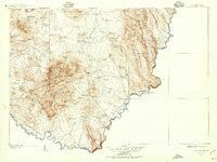
1903 · Chisos Mountains
USGS Topo · 1:125,000
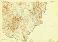
1905 · Chisos Mountains
USGS Topo · 1:125,000
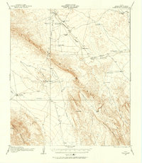
1917 · Bone Spring
USGS Topo · 1:62,500
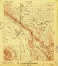
1918 · Bone Spring
USGS Topo · 1:125,000
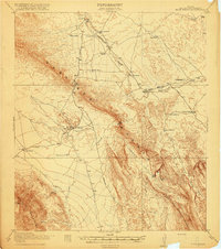
1918 · Bone Spring
USGS Topo · 1:62,500
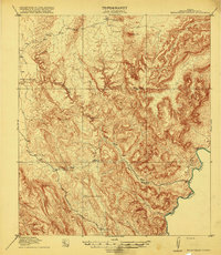
1919 · Maravillas Canyon
USGS Topo · 1:62,500
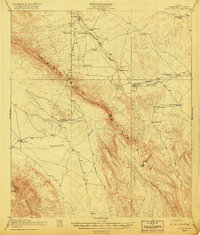
1920 · Bone Spring
USGS Topo · 1:62,500
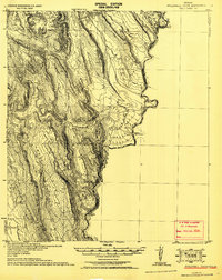
1930 · Stillwell Creek
USGS Topo · 1:62,500
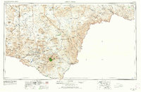
1959 · Emory Peak
USGS Topo · 1:250,000
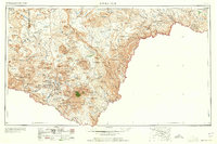
1965 · Emory Peak
USGS Topo · 1:250,000