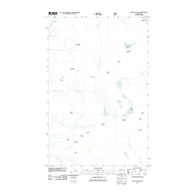
2011 Map of Suiattle Pass
USGS Topo · Published 2011About this map
Glacier Peak Mines and the remote outpost of Lady Camp stand as markers of industrial exploration within this high-elevation wilderness of the Cascade Range. The landscape is defined by its massive ice fields and the hydrographic network they feed, including Lyman Glacier, Grant Glacier, and Spider Glacier. These glacial systems drain into numerous water bodies like Lyman Lake and Canyon Lake, shaping the headwaters of the Chiwawa River and South Fork Agnes Creek. Notable transit corridors through this steep terrain are identified by several high-mountain crossings, such as Suiattle Pass, Cloudy Pass, and the curious Pass No Pass. Peaks like Sitting Bull Mountain and Chiwawa Mountain tower over the valleys, while Crown Point Falls provides a specific point of interest along Railroad Creek in the eastern portion of the quadrangle.
Find a feature on this map
36 named features on this map. Tap any name to fly to it.
Don’t see what you’re looking for? This feature index may not catch every label — zoom into the map to look around manually.
Map Details
Editions of this 2011 Suiattle Pass Map
This is the sole edition of this map. No revisions or reprints were ever made.
Other maps of this area

1899 · Glacier Peak
USGS Topo · 1:125,000

1901 · Glacier Peak
USGS Topo · 1:125,000

1902 · Stehekin
USGS Topo · 1:125,000

1904 · Stehekin
USGS Topo · 1:125,000

1944 · Holden
USGS Topo · 1:62,500

1949 · Holden
USGS Topo · 1:62,500

1950 · Glacier Peak
USGS Topo · 1:62,500

1955 · Concrete
USGS Topo · 1:250,000

1958 · Concrete
USGS Topo · 1:250,000

1962 · Concrete
USGS Topo · 1:250,000