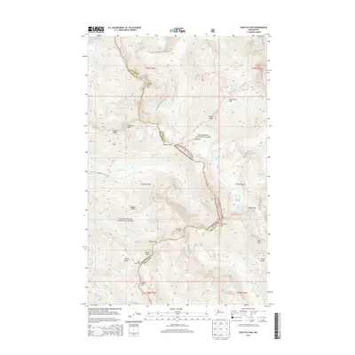
2014 Map of Suiattle Pass
USGS Topo · Published 2014About this map
Suiattle Pass serves as a critical geographic junction on the boundary between Snohomish and Chelan counties. This high-altitude landscape is defined by the massive glacial ice of the Lyman Glacier, Spider Glacier, and Grant Glacier, which feed into high-mountain drainage systems like the Chiwawa River and Railroad Cr. The map captures the course of the Pacific Crest National Scenic Trail as it winds through the Wenatchee National Forest and Mount Baker National Forest. Landforms such as Cloudy Peak, Fortress Mtn, and the distinctive Helmet Butte dominate the skyline. Human presence is largely limited to the seasonal Lady Camp and the network of primitive routes crossing gaps like Buck Creek Pass and the oddly named Pass No Pass. This survey provides a precise look at the hydrology of the North Cascades, including the waters of Lyman Lake and Massie Lake before they descend into the narrow valleys below.
Find a feature on this map
46 named features on this map. Tap any name to fly to it.
Don’t see what you’re looking for? This feature index may not catch every label — zoom into the map to look around manually.
Map Details
Editions of this 2014 Suiattle Pass Map
This is the sole edition of this map. No revisions or reprints were ever made.
Other maps of this area

1899 · Glacier Peak
USGS Topo · 1:125,000

1901 · Glacier Peak
USGS Topo · 1:125,000

1902 · Stehekin
USGS Topo · 1:125,000

1904 · Stehekin
USGS Topo · 1:125,000

1944 · Holden
USGS Topo · 1:62,500

1949 · Holden
USGS Topo · 1:62,500

1950 · Glacier Peak
USGS Topo · 1:62,500

1955 · Concrete
USGS Topo · 1:250,000

1958 · Concrete
USGS Topo · 1:250,000

1962 · Concrete
USGS Topo · 1:250,000