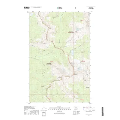
2020 Map of Suiattle Pass
USGS Topo · Published 2020About this map
Miners Ridge and the high summits of the Cascade Range define this 2020 map of the borderlands between Snohomish and Chelan counties. The terrain is characterized by massive ice features and significant elevation changes, from Lyman Glacier and Spider Glacier to the peaks of Chiwawa Mtn and Sitting Bull Mtn. This area serves as a critical junction for high-altitude passage, including Suiattle Pass, Cloudy Pass, and Buck Creek Pass, all woven together by the Pacific Crest National Scenic Trail.
Find a feature on this map
60 named features on this map. Tap any name to fly to it.
Don’t see what you’re looking for? This feature index may not catch every label — zoom into the map to look around manually.
Map Details
Editions of this 2020 Suiattle Pass Map
This is the sole edition of this map. No revisions or reprints were ever made.
Other maps of this area

1899 · Glacier Peak
USGS Topo · 1:125,000

1901 · Glacier Peak
USGS Topo · 1:125,000

1902 · Stehekin
USGS Topo · 1:125,000

1904 · Stehekin
USGS Topo · 1:125,000

1944 · Holden
USGS Topo · 1:62,500

1949 · Holden
USGS Topo · 1:62,500

1950 · Glacier Peak
USGS Topo · 1:62,500

1955 · Concrete
USGS Topo · 1:250,000

1958 · Concrete
USGS Topo · 1:250,000

1962 · Concrete
USGS Topo · 1:250,000