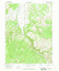
1962 Map of Suicide Mountain
USGS Topo · Published 1969About this map
White River National Forest dominates this 1962 landscape in Eagle County, showing a complex network of high-elevation water management and mountain terrain. Irrigation infrastructure is particularly prominent in the northern reaches, where the McBrayer and Fenner Ditch, Chatfield Ditch, and Swamp Ditch demonstrate early ranching and agricultural efforts to divert runoff from Gypsum Creek. The map records a transition from these lower drainages up to prominent peaks like Suicide Mountain and Red Table Mountain, the latter of which features a specific Drill Hole landmark. Historical land use is evidenced by Quaker Corral and the establishment of the Gypsum Creek Campground, alongside numerous jeep and pack trails that weave through the Hardscrabble Mountain area. Small water bodies, including Fish Pond Lake and Borah Lake, are nestled within the timbered basins, illustrating the seasonal hydrology of the Colorado high country during the mid-twentieth century.
Find a feature on this map
61 named features on this map. Tap any name to fly to it.
Don’t see what you’re looking for? This feature index may not catch every label — zoom into the map to look around manually.
Map Details
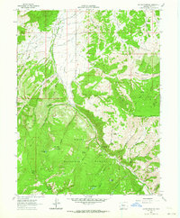
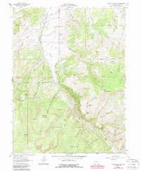
Editions of this 1962 Suicide Mountain Map
3 editions found
Other maps of this area

1909 · Mount Jackson
USGS Topo · 1:125,000

1911 · Mount Jackson
USGS Topo · 1:125,000

1927 · Glenwood Springs
USGS Topo · 1:125,000

1930 · Glenwood Springs
USGS Topo · 1:125,000

1957 · Leadville
USGS Topo · 1:250,000

1959 · Leadville
USGS Topo · 1:250,000

1960 · Leadville
USGS Topo · 1:250,000

1961 · Leon
USGS Topo · 1:24,000

1961 · Cottonwood Pass
USGS Topo · 1:24,000
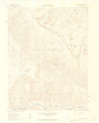
1961 · Toner Reservoir
USGS Topo · 1:24,000