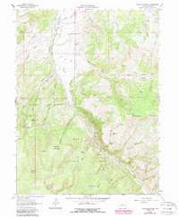
1962 Map of Suicide Mountain
USGS Topo · Published 1988About this map
White River National Forest dominates this mid-century topographic record, centering on the prominent peaks and deep drainage basins south of Gypsum. The landscape is defined by the massive bulk of Suicide Mountain and North Hardscrabble Mountain, while the southern reaches rise toward the high plateau of Red Table Mountain, where a solitary drill hole suggests industrial or scientific exploration in the high country.
Find a feature on this map
55 named features on this map. Tap any name to fly to it.
Don’t see what you’re looking for? This feature index may not catch every label — zoom into the map to look around manually.
Map Details
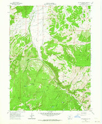
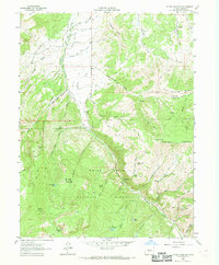
Editions of this 1962 Suicide Mountain Map
3 editions found
Other maps of this area

1909 · Mount Jackson
USGS Topo · 1:125,000

1911 · Mount Jackson
USGS Topo · 1:125,000

1927 · Glenwood Springs
USGS Topo · 1:125,000

1930 · Glenwood Springs
USGS Topo · 1:125,000

1957 · Leadville
USGS Topo · 1:250,000

1959 · Leadville
USGS Topo · 1:250,000

1960 · Leadville
USGS Topo · 1:250,000

1961 · Leon
USGS Topo · 1:24,000

1961 · Cottonwood Pass
USGS Topo · 1:24,000
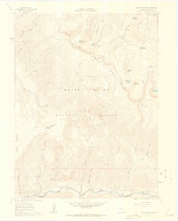
1961 · Toner Reservoir
USGS Topo · 1:24,000