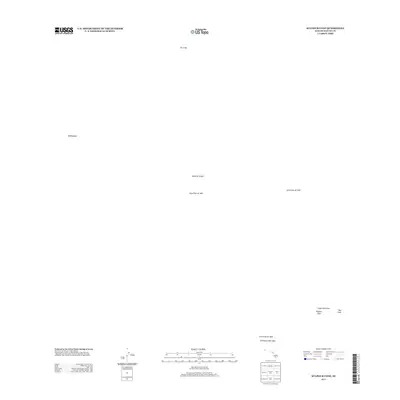
2013 Map of Sulphur Cone
USGS Topo · Published 2013About this map
The Southwest Rift Zone dominates this section of the Island of Hawaiʻi, recording a chronology of volcanic activity through distinct geological markers. The terrain is defined by historic events, most notably the Lava Flow of 1851, the Lava Flow of 1949, and the Lava Flow of 1950. These specific deposits reveal the movement of molten rock across the landscape over a century of eruptions. Higher elevations are punctuated by prominent volcanic features such as Sulphur Cone, Red Cone, and peaks like Puʻuʻuo. The absence of human infrastructure or settlements underscores the dynamic and unpredictable nature of this high-altitude rift environment, where the ʻAlalā Lava Flow further illustrates the complex layering of the island's geothermal history.
Find a feature on this map
10 named features on this map. Tap any name to fly to it.
Don’t see what you’re looking for? This feature index may not catch every label — zoom into the map to look around manually.
Map Details
Editions of this 2013 Sulphur Cone Map
This is the sole edition of this map. No revisions or reprints were ever made.
Other maps of this area

1927 · Kaohe
USGS Topo · 1:62,500

1928 · Kailua
USGS Topo · 1:62,500

1928 · Mauna Loa
USGS Topo · 1:62,500

1930 · Kaohe
USGS Topo · 1:62,500

1954 · Hawaii South
USGS Topo · 1:250,000

1954 · Hawaii North
USGS Topo · 1:250,000

1956 · Puu O Uo
USGS Topo · 1:24,000
1956 · Kokoolau
USGS Topo · 1:24,000

1959 · Hawaii South
USGS Topo · 1:250,000

1959 · Hawaii North
USGS Topo · 1:250,000