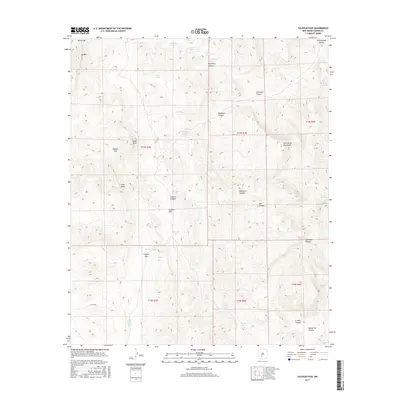
2017 Map of Sulphur Pass
USGS Topo · Published 2017About this map
San Andres Mountains dominate this high-desert landscape in Sierra County, where intricate drainage patterns and water resources reveal a history of land management. The map details a network of canyons and gaps, including Woolf Gap, Watson Gap, and Sulphur Pass, which provide natural passage through the high ground. The presence of numerous named water sources, such as Woolf Spring, Lower Sulphur Spring, and Crocket Spring, highlights the critical importance of water in this arid environment. Man-made catchments like Richard Tank, Taylor Tank, and the family-named Ben Taylor Tank suggest a legacy of ranching operations that utilized the Sulphur Flats and surrounding foothills. Notable landmarks like Pilot Knob and Big Mtn serve as distinct navigational points within the complex topography of Sulphur Canyon and Workman Canyon.
Find a feature on this map
44 named features on this map. Tap any name to fly to it.
Don’t see what you’re looking for? This feature index may not catch every label — zoom into the map to look around manually.
Map Details
Editions of this 2017 Sulphur Pass Map
This is the sole edition of this map. No revisions or reprints were ever made.
Other maps of this area

1916 · Tonuco
USGS Topo · 1:125,000

1916 · Salinas Peak
USGS Topo · 1:125,000

1932 · Tonuco
USGS Topo · 1:125,000

1948 · Sowell
USGS Topo · 1:62,500

1948 · Chicken Well
USGS Topo · 1:62,500

1948 · Kaylor Mountain
USGS Topo · 1:62,500

1948 · Black Top Mountain
USGS Topo · 1:62,500

1954 · Tularosa
USGS Topo · 1:250,000

1955 · Las Cruces
USGS Topo · 1:250,000

1958 · Las Cruces
USGS Topo · 1:250,000