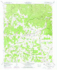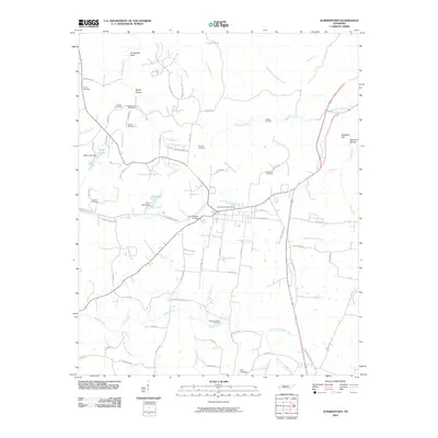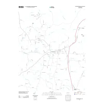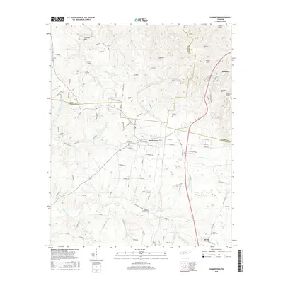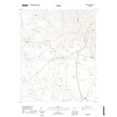
2022 Map of Summertown
USGS Topo · Published 2022About this map
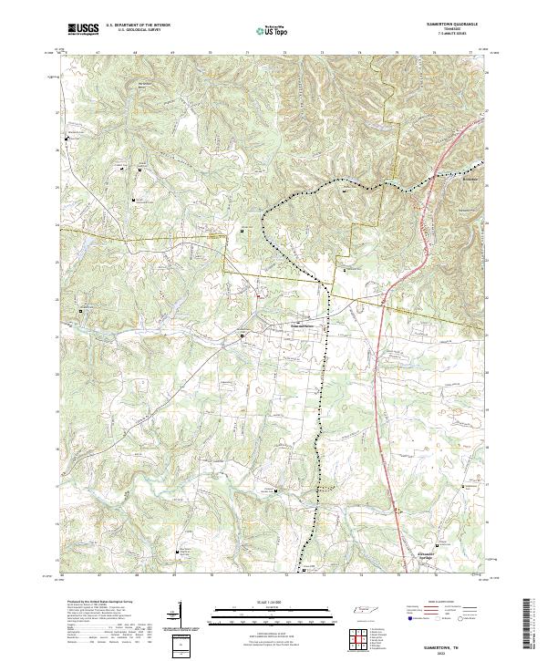
The ridge country of the Highland Rim defines this landscape, where the headwaters of the Buffalo River and Big Bigby Cr carve a complex network of hollows near the junction of Lawrence, Maury, and Lewis Counties. The community of Summertown serves as a central hub, situated along the historic corridor of the Old Jackson Hwy. This area is particularly rich in genealogical data, preserving numerous family and community burial grounds such as the Wyrick-Zimmerman Cem, Hinestown Cem, and Pleasant Garden Cem. The topography is marked by significant elevation changes, from the heights of Rockdale Hill down to the cascades at Rattlesnake Falls. To the south, the settlement of Alexander Springs sits near the confluence of the N Fork Buffalo River and S Fork Buffalo River, illustrating the traditional importance of water sources to local development.
Find a feature on this map
148 named features on this map. Tap any name to fly to it.
Don’t see what you’re looking for? This feature index may not catch every label — zoom into the map to look around manually.
Map Details
Editions of this 2022 Summertown Map
This is the sole edition of this map. No revisions or reprints were ever made.
Historical Maps of The Farm Through Time
6 maps found