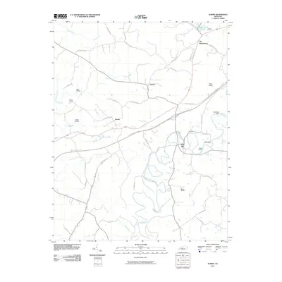
2010 Map of Summit
USGS Topo · Published 2010About this map
White Mills and Old Stephensburg anchor this topographical survey of central Kentucky, where the Nolin River carves a winding path through the landscape. The river's meanders create distinct features like Pearl Island and Sycamore Island, while the surrounding terrain is defined by low-lying areas such as Wolf Hollow and Tabbs Hollow, and the prominent Bland Knobs. Local genealogy and land use are well-documented through the placement of Duncan Cemetery near the northern border and Dellview Cemetery to the west.
Find a feature on this map
51 named features on this map. Tap any name to fly to it.
Don’t see what you’re looking for? This feature index may not catch every label — zoom into the map to look around manually.
Map Details
Editions of this 2010 Summit Map
This is the sole edition of this map. No revisions or reprints were ever made.
Other maps of this area

1925 · Cub Run
USGS Topo · 1:62,500

1932 · Big Clifty
USGS Topo · 1:62,500

1934 · Munfordville
USGS Topo · 1:48,000

1935 · Elizabethtown
USGS Topo · 1:48,000

1937 · Munfordville
USGS Topo · 1:62,500

1938 · Elizabethtown
USGS Topo · 1:62,500

1948 · Cecilia
USGS Topo · 1:24,000

1949 · Sonora
USGS Topo · 1:24,000

1949 · Constantine
USGS Topo · 1:24,000

1949 · Summit
USGS Topo · 1:24,000