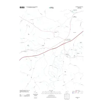
2013 Map of Summit
USGS Topo · Published 2013About this map
White Mills and the surrounding Hardin County countryside are defined by the meandering Nolin River, which carves a deep path through the southern half of this landscape. The transition from the rural community of Old Stephensburg to the established Stephensburg near Stephensburg Lake illustrates the shifting patterns of settlement in the region. Transportation remains a central theme, as the modern corridor of the Western Kentucky Pkwy bisects the area, intersecting with older routes at White Mills Junction.
Find a feature on this map
73 named features on this map. Tap any name to fly to it.
Don’t see what you’re looking for? This feature index may not catch every label — zoom into the map to look around manually.
Map Details
Editions of this 2013 Summit Map
This is the sole edition of this map. No revisions or reprints were ever made.
Other maps of this area

1925 · Cub Run
USGS Topo · 1:62,500

1932 · Big Clifty
USGS Topo · 1:62,500

1934 · Munfordville
USGS Topo · 1:48,000

1935 · Elizabethtown
USGS Topo · 1:48,000

1937 · Munfordville
USGS Topo · 1:62,500

1938 · Elizabethtown
USGS Topo · 1:62,500

1948 · Cecilia
USGS Topo · 1:24,000

1949 · Sonora
USGS Topo · 1:24,000

1949 · Constantine
USGS Topo · 1:24,000

1949 · Summit
USGS Topo · 1:24,000