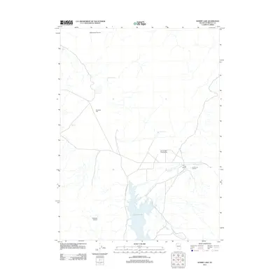
2011 Map of Summit Lake
USGS Topo · Published 2011About this map
Summit Lake serves as the focal point for this high-desert basin in Humboldt County, where water sources like Perry Spring and Fivemile Spring define the survival of the landscape. The map captures a transition point between the expansive Fivemile Flat and the northern reaches of Wild Horse Pasture, showing a remote region shaped by seasonal hydrology and historical outposts. Local history is anchored by Camp McGarry and the nearby Summit Lake Cemetery, reflecting the area's legacy of frontier settlement and tribal heritage.
Find a feature on this map
14 named features on this map. Tap any name to fly to it.
Don’t see what you’re looking for? This feature index may not catch every label — zoom into the map to look around manually.
Map Details
Editions of this 2011 Summit Lake Map
This is the sole edition of this map. No revisions or reprints were ever made.
Other maps of this area

1886 · Disaster
USGS Topo · 1:250,000

1889 · Long Valley
USGS Topo · 1:250,000

1893 · Disaster
USGS Topo · 1:250,000

1954 · Vya
USGS Topo · 1:250,000

1958 · Vya
USGS Topo · 1:250,000

1962 · Vya
USGS Topo · 1:250,000

1965 · Idaho Canyon
USGS Topo · 1:62,500

1965 · Rock Spring Table
USGS Topo · 1:62,500

1972 · Soldier Meadow
USGS Topo · 1:24,000

1972 · Burnt Springs
USGS Topo · 1:24,000