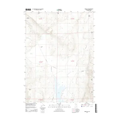
2015 Map of Summit Lake
USGS Topo · Published 2015About this map
Summit Lake lies at the heart of this high-desert landscape in northern Nevada, flanked by the Summit Lake Mtn and the Black Rock Range. The basin is a critical water source in a region defined by seasonal flows and high plateaus, including the Rock Spring Table and Wild Horse Pasture. This 2015 digital survey documents the network of primitive roads that connect the isolated terrain, such as Cedarville Rd and Soldier Meadows Rd, which intersect near the northern reaches of the lake. Near the eastern shore, the Summit Lake Cemetery provides a poignant record of early settlement and regional genealogy. The map also detail various drainages and canyon systems, including Mahogany Cr, Idaho Canyon, and Tollhouse Canyon, which highlight the complex topography of the High Rock Canyon Hills and the surrounding wilderness.
Find a feature on this map
26 named features on this map. Tap any name to fly to it.
Don’t see what you’re looking for? This feature index may not catch every label — zoom into the map to look around manually.
Map Details
Editions of this 2015 Summit Lake Map
This is the sole edition of this map. No revisions or reprints were ever made.
Other maps of this area

1886 · Disaster
USGS Topo · 1:250,000

1889 · Long Valley
USGS Topo · 1:250,000

1893 · Disaster
USGS Topo · 1:250,000

1954 · Vya
USGS Topo · 1:250,000

1958 · Vya
USGS Topo · 1:250,000

1962 · Vya
USGS Topo · 1:250,000

1965 · Idaho Canyon
USGS Topo · 1:62,500

1965 · Rock Spring Table
USGS Topo · 1:62,500

1972 · Soldier Meadow
USGS Topo · 1:24,000

1972 · Burnt Springs
USGS Topo · 1:24,000