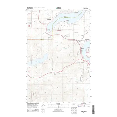
2014 Map of Summit Lake
USGS Topo · Published 2014About this map
New Kamilche and the surrounding timberlands of the Black Hills define this corner of the Puget Sound region, where the county line separates Mason and Thurston counties. The landscape is characterized by its deep water access and varied terrain, from the shoreline of Eld Inlet at Madrona Beach to the elevation of Rock Candy Mtn in the southwest. Between these points, the settlement of Schneiders Prairie sits atop a plateau above the southern reach of the inlet, illustrating the geographic distribution of residential growth along the Old Olympic Highway.
Find a feature on this map
76 named features on this map. Tap any name to fly to it.
Don’t see what you’re looking for? This feature index may not catch every label — zoom into the map to look around manually.
Map Details
Editions of this 2014 Summit Lake Map
This is the sole edition of this map. No revisions or reprints were ever made.
Other maps of this area

1916 · Chehalis
USGS Topo · 1:125,000

1937 · Olympia
USGS Topo · 1:62,500

1939 · Shelton
USGS Topo · 1:62,500

1940 · Tenino
USGS Topo · 1:62,500

1941 · Gate
USGS Topo · 1:62,500

1944 · Tenino
USGS Topo · 1:62,500

1949 · Tenino
USGS Topo · 1:62,500

1949 · Olympia
USGS Topo · 1:62,500

1953 · Hoquiam
USGS Topo · 1:250,000

1953 · Rochester
USGS Topo · 1:62,500