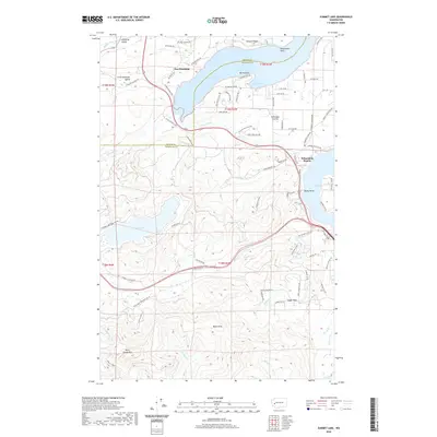
2020 Map of Summit Lake
USGS Topo · Published 2020About this map
New Kamilche sits at the head of Oyster Bay, serving as a focal point where the maritime environment of Totten Inlet meets the timbered uplands. The landscape transitions from the coastal lowlands of Schneider Prairie and Kamilche Valley to the elevations of the Black Hills. In the southern portion of the map, the terrain rises significantly toward Rock Candy Mtn within the protected bounds of the Capitol Forest. This area is defined by its complex drainage systems, including Kennedy Cr and Waddell Cr, which carve through the dense woodlands. Significant water bodies like Summit Lake provide a sharp contrast to the surrounding ridges, while the placement of Schneiders Prairie and Cedar Flats indicates the historical distribution of open ground suitable for settlement amidst the heavy forest cover of western Washington.
Find a feature on this map
90 named features on this map. Tap any name to fly to it.
Don’t see what you’re looking for? This feature index may not catch every label — zoom into the map to look around manually.
Map Details
Editions of this 2020 Summit Lake Map
This is the sole edition of this map. No revisions or reprints were ever made.
Other maps of this area

1916 · Chehalis
USGS Topo · 1:125,000

1937 · Olympia
USGS Topo · 1:62,500

1939 · Shelton
USGS Topo · 1:62,500

1940 · Tenino
USGS Topo · 1:62,500

1941 · Gate
USGS Topo · 1:62,500

1944 · Tenino
USGS Topo · 1:62,500

1949 · Tenino
USGS Topo · 1:62,500

1949 · Olympia
USGS Topo · 1:62,500

1953 · Hoquiam
USGS Topo · 1:250,000

1953 · Rochester
USGS Topo · 1:62,500