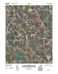
2010 Map of Sunbeam
USGS Topo · Published 2010About this map
Newsoms sits in the northwest corner of this coastal plain landscape, where the rural topography of Southampton County meets the North Carolina border. The area is defined by a network of drainage runs and creeks, most notably the meandering Meherrin River and the waters of Windbourne Millpond, which is held by the Windbourne Dam. Smaller community centers like Sunbeam, Sands, and Statesville are connected by a web of local roads such as Statesville Rd and Monroe Rd. These settlements reflect the agricultural character of the region during the early 21st century.
Find a feature on this map
42 named features on this map. Tap any name to fly to it.
Don’t see what you’re looking for? This feature index may not catch every label — zoom into the map to look around manually.
Map Details
Editions of this 2010 Sunbeam Map
This is the sole edition of this map. No revisions or reprints were ever made.
Other maps of this area

1908 · Winton
USGS Topo · 1:62,500

1919 · Boykins
USGS Topo · 1:48,000

1920 · Holland
USGS Topo · 1:62,500

1920 · Boykins
USGS Topo · 1:62,500

1943 · Holland
USGS Topo · 1:62,500

1953 · Norfolk
USGS Topo · 1:250,000

1957 · Holland
USGS Topo · 1:62,500
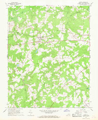
1966 · Capron
USGS Topo · 1:24,000

1966 · Sunbeam
USGS Topo · 1:24,000
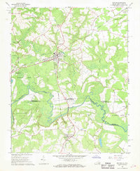
1966 · Boykins
USGS Topo · 1:24,000