Loading...
Loading map...2022 Map of Sunbury
USGS Topo · Published 2022About this map
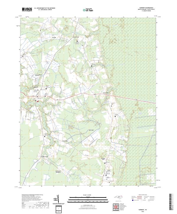
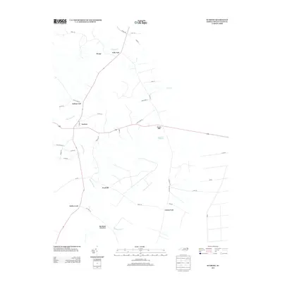
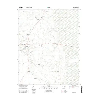
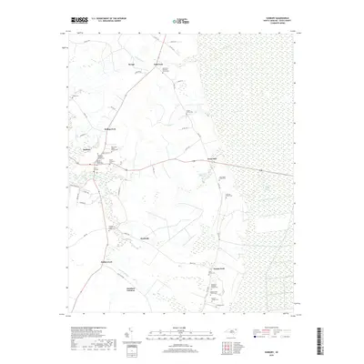
Sunbury serves as the primary hub of this Gates County landscape, situated where the western agricultural plains meet the vast hydrology of the Great Dismal Swamp. The area is defined by a series of named forks and junctions, including Folly Fork, Kellogs Fork, and Hoflers Fork, which anchor a network of rural roads and family landholdings. To the east, the terrain transitions into the dense wetlands of the swamp, marked by Goose Creek and the Acorn Hill Millpond.
Find a feature on this map
60 named features on this map. Tap any name to fly to it.
Don’t see what you’re looking for? This feature index may not catch every label — zoom into the map to look around manually.
Map Details
Date Portrayed2022
Date Published2022
PublisherU.S. Geological Survey
Map TypeTopographic
Scale1:24,000
Physical Dimensions24 x 29 inches
Editions of this 2022 Sunbury Map
This is the sole edition of this map. No revisions or reprints were ever made.
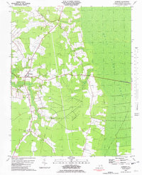
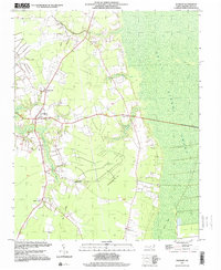
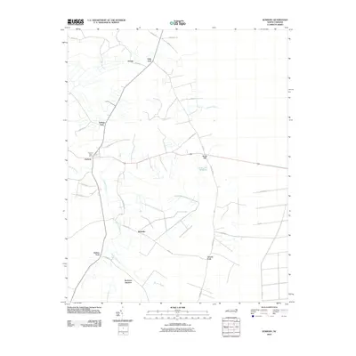
Historical Maps of Sunbury Through Time
7 maps found
Featured Locations
Source Details
SourceU.S. Geological Survey
CopyrightPublic Domain