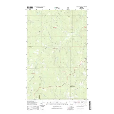
2017 Map of Sunday Mountain
USGS Topo · Published 2017About this map
Sunday Mtn and Paul Mtn dominate this high-altitude landscape along the border of Flathead and Lincoln counties. The terrain is defined by a dense network of mountain drainages, including Magnesia Cr and Stewart Cr in the north, flowing toward the intricate valley of Sunday Cr. This 2017 survey illustrates the complex management of the Kootenai National Forest and Flathead National Forest, where historical access is maintained through an extensive system of forest development roads. These routes, such as Alder Creek Rd and NFD 1649 RD, follow the natural contours of the land toward the Martin Divide. The names of local waterways like Blessed Cr and Advent Cr suggest a cultural layer of naming conventions established by early surveyors or settlers in this part of Northwest Montana.
Find a feature on this map
35 named features on this map. Tap any name to fly to it.
Don’t see what you’re looking for? This feature index may not catch every label — zoom into the map to look around manually.
Map Details
Editions of this 2017 Sunday Mountain Map
This is the sole edition of this map. No revisions or reprints were ever made.
Other maps of this area

1913 · Stryker
USGS Topo · 1:125,000

1916 · Stryker
USGS Topo · 1:125,000

1957 · Kalispell
USGS Topo · 1:250,000

1960 · Kalispell
USGS Topo · 1:250,000

1961 · Kalispell
USGS Topo · 1:250,000

1962 · Johnson Peak
USGS Topo · 1:24,000

1963 · Stryker
USGS Topo · 1:24,000
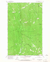
1963 · Skillet Mountain
USGS Topo · 1:24,000

1963 · Sunday Mountain
USGS Topo · 1:24,000
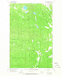
1963 · Edna Mountain
USGS Topo · 1:24,000