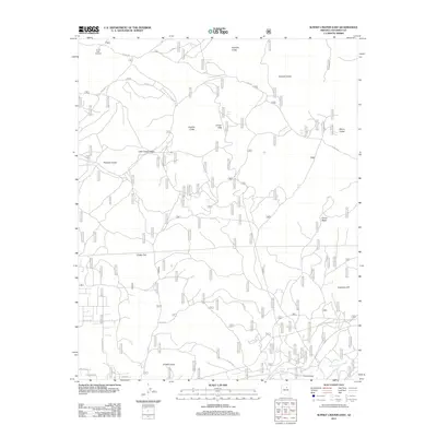
2011 Map of Sunset Crater East
USGS Topo · Published 2011About this map
O'Neill Crater and the volcanic landscape of Coconino County dominate this 2011 survey, revealing a complex terrain of basins and basaltic formations. The map documents a high-desert environment where volcanic features like Double Crater, Haywire Crater, and the distinct Pinnacle Crater define the topography. Human interaction with this arid geography is evident through a network of Forest Service roads, including FS RD 244 and FS RD 777, which provide access to remote landmarks such as the Cinder Hills Overlook. Water management in this dry region is highlighted by small catchments like Browse Tank and Trick Tank. The southern portion of the quadrangle shows the seasonal drainage of the San Francisco Wash near Turkey Tanks, illustrating the vital role of these natural and improved water sources in the high-altitude Arizona desert.
Find a feature on this map
29 named features on this map. Tap any name to fly to it.
Don’t see what you’re looking for? This feature index may not catch every label — zoom into the map to look around manually.
Map Details
Editions of this 2011 Sunset Crater East Map
This is the sole edition of this map. No revisions or reprints were ever made.
Other maps of this area

1886 · San Francisco Mtns
USGS Topo · 1:250,000

1891 · San Francisco Mtns
USGS Topo · 1:250,000

1894 · San Francisco Mtns
USGS Topo · 1:250,000

1899 · San Francisco Mtns
USGS Topo · 1:250,000

1908 · Flagstaff
USGS Topo · 1:125,000

1912 · Flagstaff
USGS Topo · 1:125,000

1947 · Flagstaff
USGS Topo · 1:250,000

1954 · Flagstaff
USGS Topo · 1:250,000

1958 · Flagstaff
USGS Topo · 1:250,000

1960 · Flagstaff
USGS Topo · 1:250,000