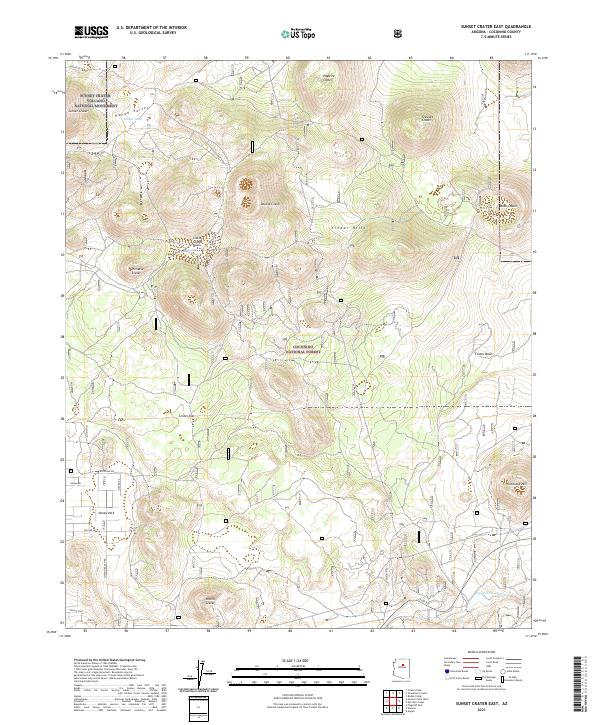
2021 Map of Sunset Crater East
USGS Topo · Published 2021About this map
Sunset Crater Volcano National Monument and the surrounding Coconino National Forest dominate this high-desert volcanic landscape northeast of Flagstaff. The terrain is defined by a dense concentration of cinder cones and basins, including Double Crater, Haywire Crater, and the prominent Sunset Crater. These geological formations transition into the broad Kanaa Valley and the expansive Cinder Hills off-road area, showcasing a complex network of volcanic debris and drainages like Kanaa Wash.
Find a feature on this map
32 named features on this map. Tap any name to fly to it.
Don’t see what you’re looking for? This feature index may not catch every label — zoom into the map to look around manually.
Map Details
Editions of this 2021 Sunset Crater East Map
This is the sole edition of this map. No revisions or reprints were ever made.
Other maps of this area

1886 · San Francisco Mtns
USGS Topo · 1:250,000

1891 · San Francisco Mtns
USGS Topo · 1:250,000

1894 · San Francisco Mtns
USGS Topo · 1:250,000

1899 · San Francisco Mtns
USGS Topo · 1:250,000

1908 · Flagstaff
USGS Topo · 1:125,000

1912 · Flagstaff
USGS Topo · 1:125,000

1947 · Flagstaff
USGS Topo · 1:250,000

1954 · Flagstaff
USGS Topo · 1:250,000

1958 · Flagstaff
USGS Topo · 1:250,000

1960 · Flagstaff
USGS Topo · 1:250,000