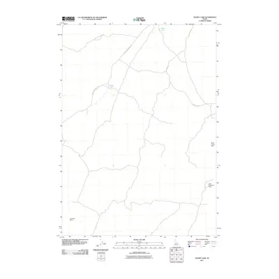
2011 Map of Sunset Lake
USGS Topo · Published 2011About this map
Sunset Lake and Rocky Lake provide the primary water sources for this expansive Idaho terrain, where the high desert landscape is punctuated by several prominent topographical rises. The area is defined by its distinct landforms, including Rock Corral Butte, Little Wildhorse Butte, and Antelope Butte, which likely served as navigational waypoints for local travelers and ranchers. A sparse network of unpaved access routes like Lambert Rocks Point Rd, Big Butte Springfield Rd, and Cow Pasture Rd weave across the quadrangle, illustrating the remote and specialized nature of land use in this part of Bingham County. The layout of these roads suggests a landscape devoted primarily to livestock grazing and resource management rather than dense settlement, preserving a character of open range and isolated landmarks.
Find a feature on this map
8 named features on this map. Tap any name to fly to it.
Don’t see what you’re looking for? This feature index may not catch every label — zoom into the map to look around manually.
Map Details
Editions of this 2011 Sunset Lake Map
This is the sole edition of this map. No revisions or reprints were ever made.
Other maps of this area

1955 · Idaho Falls
USGS Topo · 1:250,000

1958 · Idaho Falls
USGS Topo · 1:250,000

1972 · Quaking Aspen Butte
USGS Topo · 1:24,000

1972 · Antelope Lake
USGS Topo · 1:24,000

1972 · Split Top
USGS Topo · 1:24,000

1972 · Big Southern Butte
USGS Topo · 1:24,000

1972 · Sunset Lake
USGS Topo · 1:24,000

1972 · Serviceberry Butte
USGS Topo · 1:24,000

1973 · Scoville
USGS Topo · 1:24,000

1973 · Rock Butte
USGS Topo · 1:24,000