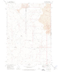
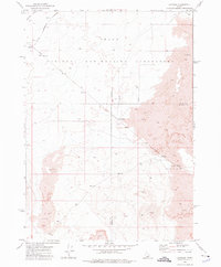
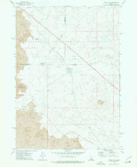
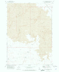
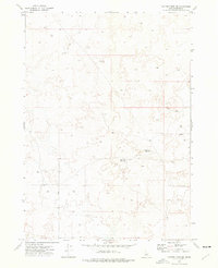
1973 Map of Rock Butte
USGS Topo · Published 1976About this map
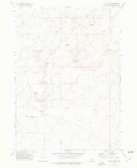
Lava flows dominate this high-desert landscape along the Butte Co Bingham Co line, where the terrain is defined by volcanic features and an arid expanse. The isolation of the area in the early 1970s is underscored by the presence of a primitive Jeep Trail and a series of vital water collection points, such as Moose Res and Cistern. Rising from the plains are distinct topographical markers like Rock Butte and Rock Corral Butte, which likely served as navigational waypoints in a region otherwise sparse of permanent structures. The infrastructure shown, including Cow Pasture Reservoir No 1 and Cow Pasture Reservoir No 2, reflects a land-use pattern centered on seasonal livestock grazing, where every Well No 2 Res and tank was a critical asset for survival.
Find a feature on this map
12 named features on this map. Tap any name to fly to it.
Don’t see what you’re looking for? This feature index may not catch every label — zoom into the map to look around manually.
Map Details
Editions of this 1973 Rock Butte Map
This is the sole edition of this map. No revisions or reprints were ever made.
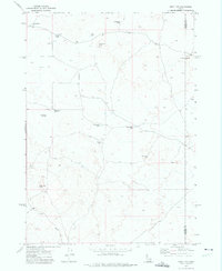
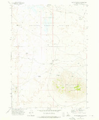
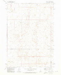
Other maps of this area

1955 · Idaho Falls
USGS Topo · 1:250,000

1958 · Idaho Falls
USGS Topo · 1:250,000
1972 · Split Top
USGS Topo · 1:24,000
1972 · Big Southern Butte
USGS Topo · 1:24,000
1972 · Sunset Lake
USGS Topo · 1:24,000
1973 · Scoville
USGS Topo · 1:24,000
1973 · Atomic City
USGS Topo · 1:24,000
1973 · Lava Lake Reservoir
USGS Topo · 1:24,000
1973 · Coffee Point NE
USGS Topo · 1:24,000
1973 · Coffee Point
USGS Topo · 1:24,000